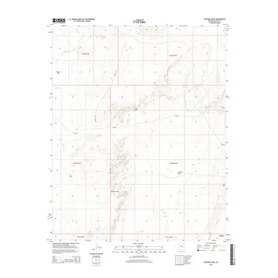
2014 Map of Ventana Mesa
USGS Topo · Published 2014About this map
Ventana Mesa and the prominent Red Rock Rim anchor this high-desert landscape in the northern Navajo Nation. The terrain is defined by dramatic geological formations, notably the Hope Arch and the sweeping elevations of Carson Mesa and Red Mesa. Surveyed in the early 21st century, the map reveals a sparsely populated area where travel is dictated by the land's natural contours. Access is provided primarily through a network of rural routes, including Co Road C554 and Bia-8090. The presence of Tse Abe I further underscores the traditional importance of these named high points. This geographic study documents the intersection of modern road designations with long-established landmarks in the Chinle Agency region.
Find a feature on this map
13 named features on this map. Tap any name to fly to it.
Don’t see what you’re looking for? This feature index may not catch every label — zoom into the map to look around manually.
Map Details
Editions of this 2014 Ventana Mesa Map
This is the sole edition of this map. No revisions or reprints were ever made.
Other maps of this area

1892 · Canyon De Chelly
USGS Topo · 1:250,000

1954 · Shiprock
USGS Topo · 1:250,000

1955 · Chinle 4 NE
USGS Topo · 1:24,000

1955 · Chinle 4 SE
USGS Topo · 1:24,000

1958 · Shiprock
USGS Topo · 1:250,000

1959 · Shiprock
USGS Topo · 1:250,000

1968 · Many Farms SW
USGS Topo · 1:24,000
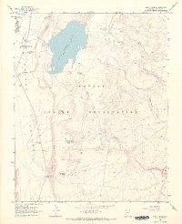
1968 · Many Farms
USGS Topo · 1:24,000
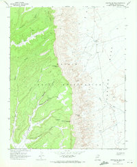
1968 · Sweathouse Peak
USGS Topo · 1:24,000
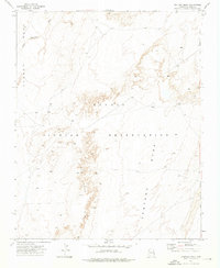
1972 · Ventana Mesa
USGS Topo · 1:24,000