Loading...
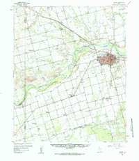
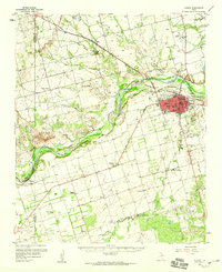
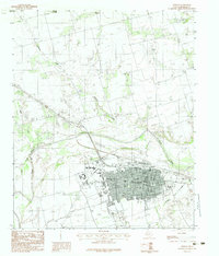
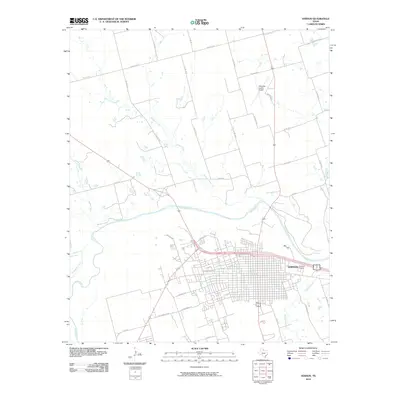
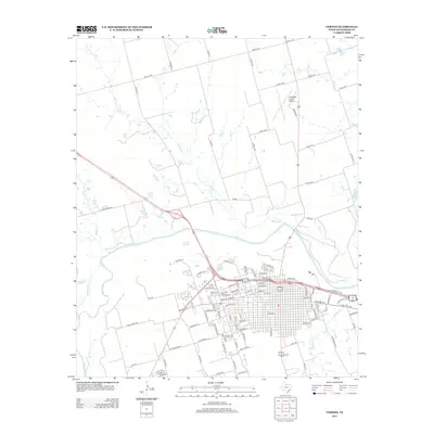
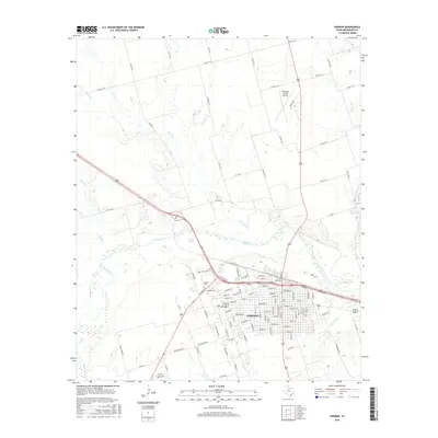
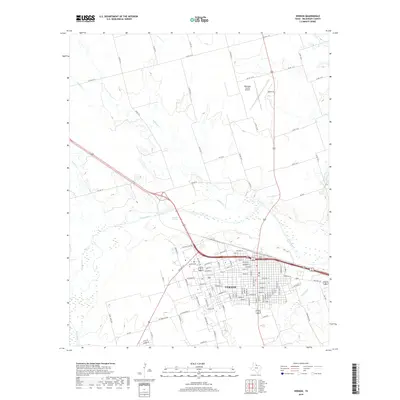
Loading map...1958 Map of Vernon
USGS Topo · Published 1984About this map
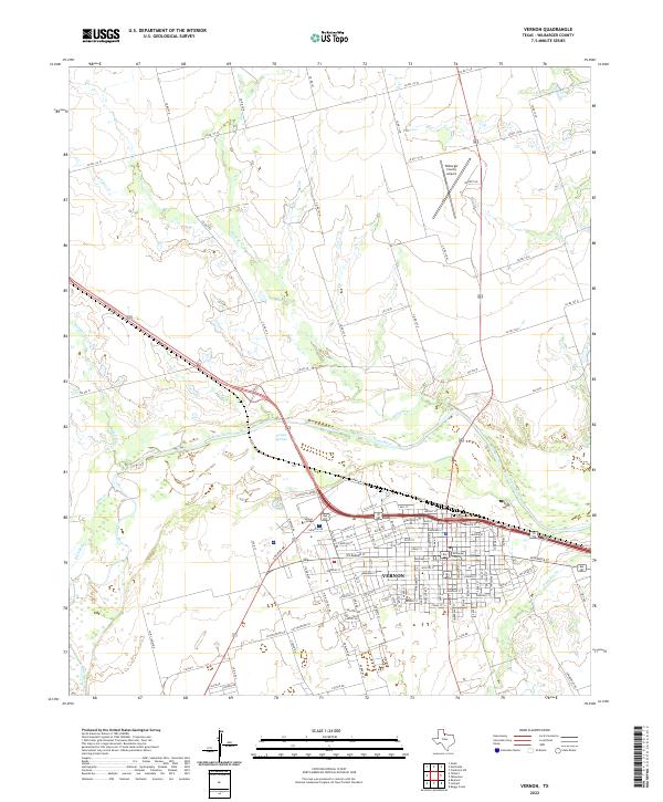
The Vernon landscape in the late 1950s is defined by the sweeping course of the Pease River and the steady expansion of Wilbarger County's seat. This area showcases a transition from established urban infrastructure to a rural economy anchored by cattle and cotton, evidenced by the Santa Rosa Roundup Rodeo Grounds and several outlying schools like Lockett High Sch and Hawkins Sch. The transport network is dominated by the Fort Worth and Denver railroad, which parallels the river and connects smaller settlements like Tolbert.
Find a feature on this map
39 named features on this map. Tap any name to fly to it.
Don’t see what you’re looking for? This feature index may not catch every label — zoom into the map to look around manually.
Map Details
Date Portrayed1958
Date Published1984
PublisherU.S. Geological Survey
Map TypeTopographic
Scale1:62,500
Physical Dimensions18.1 x 20.9 inches
Editions of this 1958 Vernon Map
2 editions found
Historical Maps of Vernon Through Time
8 maps found

Featured Locations
Source Details
SourceU.S. Geological Survey
CopyrightPublic Domain