Loading...
Loading map...2024 Map of Verona
USGS Topo · Published 2024About this map
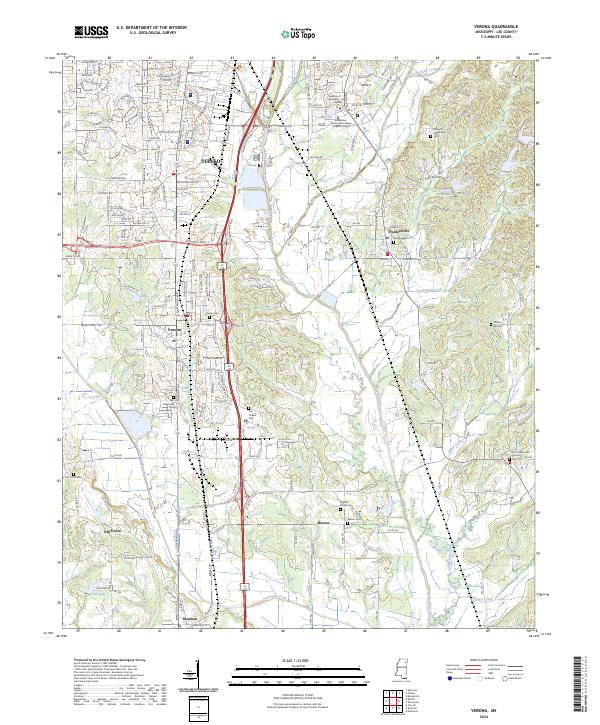
Private John Allen National Fish Hatchery and the southern reaches of Tupelo define the northern portion of this Lee County landscape. The area transitions from the urbanized streets of Verona and Plantersville into a rural network of small communities and family landmarks. This map is particularly dense with genealogical sites, including the English Family Cemetery, Williams Hill Family Cemetery, and Brewer Cemetery.
Find a feature on this map
188 named features on this map. Tap any name to fly to it.
Don’t see what you’re looking for? This feature index may not catch every label — zoom into the map to look around manually.
Map Details
Date Portrayed2024
Date Published2024
PublisherU.S. Geological Survey
Map TypeTopographic
Scale1:24000
Physical Dimensions24 x 29 inches
Editions of this 2024 Verona Map
This is the sole edition of this map. No revisions or reprints were ever made.
Historical Maps of Union Through Time

Featured Locations
Source Details
SourceU.S. Geological Survey
CopyrightPublic Domain