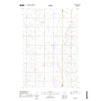
2017 Map of Verona NE
USGS Topo · Published 2017About this map
Bear Cr carves a winding path through the prairie landscape along the border of LaMoure and Ransom Counties in this 2017 survey. The terrain is characterized by the systematic grid of the Public Land Survey System, defined here by the intersection of townships t135n r59w, t135n r58w, t134n r59w, and t134n r58w. This layout reflects the late 19th-century settlement patterns of eastern North Dakota, where road networks like Co Rd 34 and 114th Ave SE follow section lines across the agricultural drainage basin. Local history is anchored by the West Fairview Cem, a small landmark situated among the numerous wetlands and depressions typical of the region's glaciated topography.
Find a feature on this map
22 named features on this map. Tap any name to fly to it.
Don’t see what you’re looking for? This feature index may not catch every label — zoom into the map to look around manually.
Map Details
Editions of this 2017 Verona NE Map
This is the sole edition of this map. No revisions or reprints were ever made.
Other maps of this area

1895 · Lamoure
USGS Topo · 1:125,000

1897 · Tower
USGS Topo · 1:125,000

1897 · Eckelson
USGS Topo · 1:125,000

1918 · La Moure
USGS Topo · 1:125,000

1952 · Independence
USGS Topo · 1:24,000

1953 · Jamestown
USGS Topo · 1:250,000

1953 · Fargo
USGS Topo · 1:250,000

1956 · Fargo
USGS Topo · 1:250,000

1956 · Jamestown
USGS Topo · 1:250,000

1957 · Elliott SW
USGS Topo · 1:24,000
Featured Places
- Fort Ransom Township, ND
- Black Loam Township, ND
- Greenville Township, ND
- Hanson Township, ND
- LaMoure County, ND