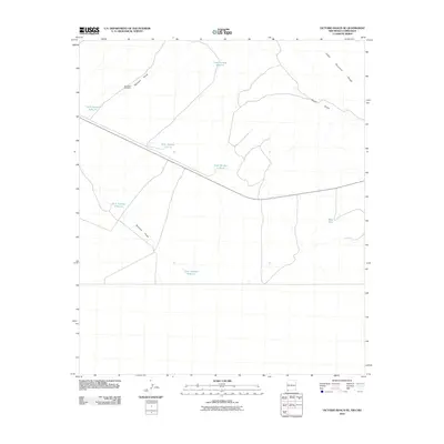
2010 Map of Victorio Ranch SE
USGS Topo · Published 2010About this map
Cedar Mountain Range anchors the northeastern corner of this arid landscape, providing a topographical backdrop to a network of seasonal watercourses and ranching infrastructure. In this 2010 survey of New Mexico, the land is defined by ephemeral drainages such as Wamels Draw and Baker Draw, which traverse the high desert floor. The distribution of water is strictly managed through a system of numbered catchments, including Tank Number 5 North and Tank Number 9 South, which support livestock in an environment where moisture is fleeting. Human presence is marked by isolated landmarks like the Northeast Windmill, indicating the ongoing reliance on groundwater extraction in this corner of Luna County. The map captures a transition between open basin terrain and the rising slopes of the range, illustrating the vital role of these artificial tanks and natural draws in the regional economy.
Find a feature on this map
11 named features on this map. Tap any name to fly to it.
Don’t see what you’re looking for? This feature index may not catch every label — zoom into the map to look around manually.
Map Details
Editions of this 2010 Victorio Ranch SE Map
This is the sole edition of this map. No revisions or reprints were ever made.
Other maps of this area

1917 · Hermanas
USGS Topo · 1:62,500

1918 · Hermanas
USGS Topo · 1:62,500

1918 · Victorio
USGS Topo · 1:62,500

1943 · Hermanas
USGS Topo · 1:62,500

1953 · El Paso
USGS Topo · 1:250,000

1955 · Douglas
USGS Topo · 1:250,000

1959 · Douglas
USGS Topo · 1:250,000

1959 · El Paso
USGS Topo · 1:250,000

1961 · Douglas
USGS Topo · 1:250,000

1964 · El Paso
USGS Topo · 1:250,000