
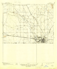
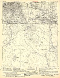
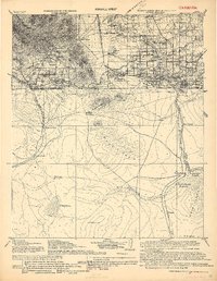
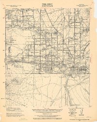
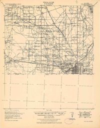
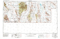
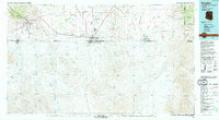
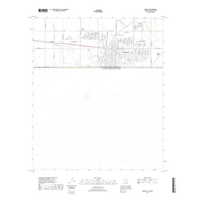
1961 Map of Douglas
USGS Topo · Published 1961About this map
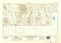
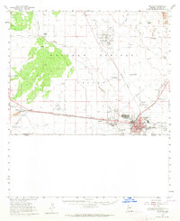
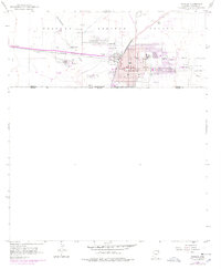
Bisbee and Douglas anchor this arid borderlands landscape, where the Southern Pacific Railroad connects the copper-mining district to the rail networks of the Southwest. The high-elevation terrain is defined by the Chiricahua Mountains and the Swisshelm Mountains, which rise sharply from the Sulphur Springs Valley. This survey captures the complex topography of the Coronado National Forest and the striking rock formations within the Chiricahua National Monument.
Find a feature on this map
170 named features on this map. Tap any name to fly to it.
Don’t see what you’re looking for? This feature index may not catch every label — zoom into the map to look around manually.
Map Details
Editions of this 1961 Douglas Map
This is the sole edition of this map. No revisions or reprints were ever made.
Historical Maps of Pirtleville Through Time
16 maps found
1914 Douglas
Cochise County, AZ
1916 Douglas
Cochise County, AZ
1919 Douglas
Cochise County, AZ
1925 Douglas
Cochise County, AZ
1933 Douglas
Cochise County, AZ
1955 Douglas
Cochise County, AZ
1958 Douglas
Cochise County, AZ
1958 Douglas
Cochise County, AZ
1959 Douglas
Cochise County, AZ
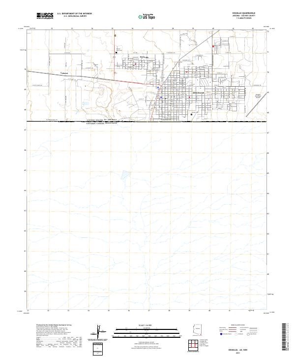
1961 Douglas
Cochise County, AZ

1964 Douglas
Cochise County, AZ
1994 Douglas
Cochise County, AZ
2011 Douglas
Cochise County, AZ
2014 Douglas
Cochise County, AZ
2018 Douglas
Cochise County, AZ
2021 Douglas
Cochise County, AZ