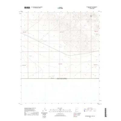
2020 Map of Victorio Ranch SE
USGS Topo · Published 2020About this map
The United States of America Estados Unidos Mexicanos international border defines the southern extent of this high-desert landscape in Luna County. The terrain is characterized by the arid drainage systems of Baker Draw and Wamels Draw, which funnel seasonal runoff away from the rugged slopes of the Cedar Mountain Range. This 2020 survey illustrates a ranching landscape centered on water management, featuring a distributed network of catchments including West Tank and Tank Number 5 North.
Find a feature on this map
17 named features on this map. Tap any name to fly to it.
Don’t see what you’re looking for? This feature index may not catch every label — zoom into the map to look around manually.
Map Details
Editions of this 2020 Victorio Ranch SE Map
This is the sole edition of this map. No revisions or reprints were ever made.
Other maps of this area
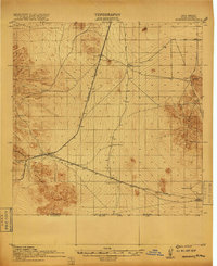
1917 · Hermanas
USGS Topo · 1:62,500
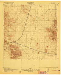
1918 · Hermanas
USGS Topo · 1:62,500
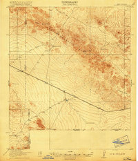
1918 · Victorio
USGS Topo · 1:62,500
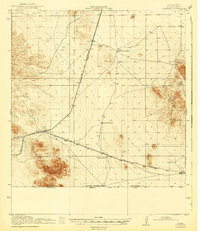
1943 · Hermanas
USGS Topo · 1:62,500
1953 · El Paso
USGS Topo · 1:250,000
1955 · Douglas
USGS Topo · 1:250,000
1959 · Douglas
USGS Topo · 1:250,000
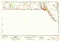
1959 · El Paso
USGS Topo · 1:250,000
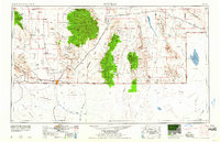
1961 · Douglas
USGS Topo · 1:250,000
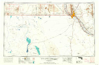
1964 · El Paso
USGS Topo · 1:250,000