Loading...
Loading map...2024 Map of Villa Rica
USGS Topo · Published 2024About this map
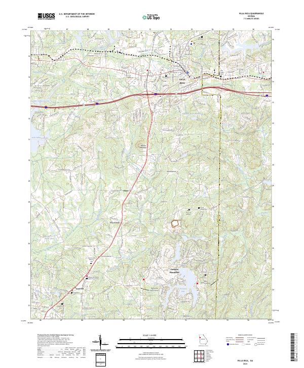
The city of Villa Rica serves as the focal point for this contemporary survey of the Carroll County and Douglas County border. This region showcases a transition from traditional rural settlements like Ithaca and Five Points to planned residential developments such as Fairfield Plantation. The landscape is defined by the headwaters of the Little Tallapoosa River and several significant reservoirs, including Villa Rica Water Works Lake and Treasure Lake.
Find a feature on this map
228 named features on this map. Tap any name to fly to it.
Don’t see what you’re looking for? This feature index may not catch every label — zoom into the map to look around manually.
Map Details
Date Portrayed2024
Date Published2024
PublisherU.S. Geological Survey
Map TypeTopographic
Scale1:24000
Physical Dimensions24 x 29 inches
Editions of this 2024 Villa Rica Map
This is the sole edition of this map. No revisions or reprints were ever made.
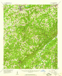
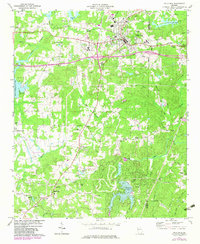
Historical Maps of Five Points Through Time
3 maps found
Featured Locations
Source Details
SourceU.S. Geological Survey
CopyrightPublic Domain