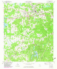
1973 Map of Villa Rica
USGS Topo · Published 1983About this map
Villa Rica serves as a central hub on this West Georgia landscape, situated along the Southern railroad line and emerging highway corridors. The map reveals a transition between the established town center, featuring the Villa Rica High Sch and Hill Crest Cem, and the more rural settlements of Ithaca, Five Points, and Hickory Level. To the south, numerous small country churches such as Macedonia Ch, Temperance Ch, and Old Carrollton Ch anchor local communities amidst a network of winding roads like Shady Grove Road. The terrain is defined by a dense drainage system including Bay Springs Creek and the Dog River, while several man-made bodies of water like Treasure Lake and Lake Val-Do-Mar indicate mid-century recreational and residential development. A notable detail is the Airport (Abandoned) near the northeastern corner, marking a shift in local infrastructure during this era of growth.
Find a feature on this map
59 named features on this map. Tap any name to fly to it.
Don’t see what you’re looking for? This feature index may not catch every label — zoom into the map to look around manually.
Map Details
Editions of this 1973 Villa Rica Map
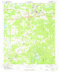
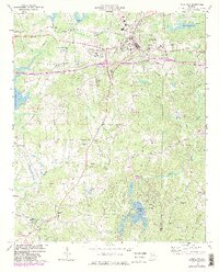
3 editions found
Other maps of this area

1889 · Tallapoosa
USGS Topo · 1:125,000

1891 · Marietta
USGS Topo · 1:125,000

1892 · Tallapoosa
USGS Topo · 1:125,000

1895 · Marietta
USGS Topo · 1:125,000

1897 · Marietta
USGS Topo · 1:125,000

1897 · Tallapoosa
USGS Topo · 1:125,000

1901 · Marietta
USGS Topo · 1:125,000

1953 · Atlanta
USGS Topo · 1:250,000

1957 · Atlanta
USGS Topo · 1:250,000

1958 · Rico
USGS Topo · 1:24,000