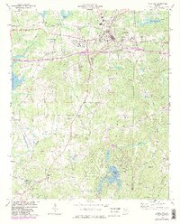
1973 Map of Villa Rica
USGS Topo · Published 1983About this map
The Southern Railway corridor anchors the northern portion of this Georgia landscape, passing through the established community of Villa Rica. This 1973 survey captures a transition in the rural economy, where traditional landmarks like New Brooklyn Ch and Pleasant Grove Ch remain central to the geography alongside newer infrastructure, including several landing strips and a sewage disposal facility. The terrain is defined by the headwaters of the Tallapoosa River and the Little Tallapoosa River, with numerous smaller streams such as Keaton Creek and Dog River carving through the hills. This map reflects a period of modernization in Carroll Co and Douglas Co, evidenced by the presence of a Villa Rica High Sch and a burgeoning network of local roads including Liberty Road and Shady Grove Road.
Find a feature on this map
58 named features on this map. Tap any name to fly to it.
Don’t see what you’re looking for? This feature index may not catch every label — zoom into the map to look around manually.
Map Details
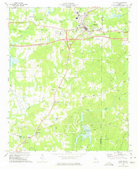
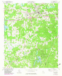
Editions of this 1973 Villa Rica Map
3 editions found
Other maps of this area

1889 · Tallapoosa
USGS Topo · 1:125,000

1891 · Marietta
USGS Topo · 1:125,000

1892 · Tallapoosa
USGS Topo · 1:125,000

1895 · Marietta
USGS Topo · 1:125,000

1897 · Marietta
USGS Topo · 1:125,000

1897 · Tallapoosa
USGS Topo · 1:125,000

1901 · Marietta
USGS Topo · 1:125,000

1953 · Atlanta
USGS Topo · 1:250,000

1957 · Atlanta
USGS Topo · 1:250,000

1958 · Rico
USGS Topo · 1:24,000