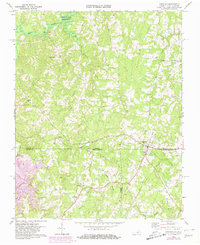
1968 Map of Virgilina
USGS Topo · Published 1981About this map
Virgilina straddles the border between Virginia and North Carolina, serving as a focal point for this rural landscape during the late 1960s. The town is situated at the intersection of several significant transport corridors, including the Norfolk and Danville Railroad. To the north, the waters of the John H Kerr Reservoir and the Hyco River dominate the drainage basin, while smaller communities like Christie, Shady Grove, and Red Bank are connected by a network of local roads.
Find a feature on this map
34 named features on this map. Tap any name to fly to it.
Don’t see what you’re looking for? This feature index may not catch every label — zoom into the map to look around manually.
Map Details
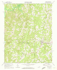
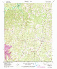
Editions of this 1968 Virgilina Map
Other maps of this area

1941 · Clarksville
USGS Topo · 1:48,000

1943 · Clarksville
USGS Topo · 1:62,500

1943 · Roxboro
USGS Topo · 1:62,500

1953 · Oxford
USGS Topo · 1:62,500

1953 · South Boston
USGS Topo · 1:62,500

1953 · Greensboro
USGS Topo · 1:250,000

1954 · Greensboro
USGS Topo · 1:250,000

1957 · South Boston
USGS Topo · 1:62,500

1957 · Clarksville
USGS Topo · 1:62,500

1962 · Greensboro
USGS Topo · 1:250,000