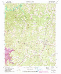
1968 Map of Virgilina
USGS Topo · Published 1990About this map
The town of Virgilina straddles the border between Virginia and North Carolina, serving as a focal point for this rural landscape during the late 1960s. The settlement pattern is defined by cross-border connectivity, with community life anchored by numerous country churches such as Shady Grove Ch, North Fork Ch, and Elijah Grove Ch. The presence of the Railroad Grade running through the town and southward into North Carolina speaks to the area's older transportation infrastructure, which once supported the local economy.
Find a feature on this map
29 named features on this map. Tap any name to fly to it.
Don’t see what you’re looking for? This feature index may not catch every label — zoom into the map to look around manually.
Map Details
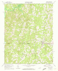
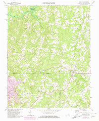
Editions of this 1968 Virgilina Map
Other maps of this area

1941 · Clarksville
USGS Topo · 1:48,000

1943 · Clarksville
USGS Topo · 1:62,500

1943 · Roxboro
USGS Topo · 1:62,500

1953 · Oxford
USGS Topo · 1:62,500

1953 · South Boston
USGS Topo · 1:62,500

1953 · Greensboro
USGS Topo · 1:250,000

1954 · Greensboro
USGS Topo · 1:250,000

1957 · South Boston
USGS Topo · 1:62,500

1957 · Clarksville
USGS Topo · 1:62,500

1962 · Greensboro
USGS Topo · 1:250,000