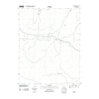
2011 Map of Virgin
USGS Topo · Published 2011About this map
The Virgin River carves a deep valley through this corner of Washington County, Utah, anchoring a landscape where high plateau terrain meets early 21st-century infrastructure. The settlement of Virgin sits at the junction of the river and Kolob Rd, serving as a central point for local genealogy and history researchers due to the presence of the Virgin Cemetery. To the north, the elevation rises sharply toward Smith Mesa and Hurricane Mesa, the latter of which features the specialized Hurricane Mesa Airport.
Find a feature on this map
18 named features on this map. Tap any name to fly to it.
Don’t see what you’re looking for? This feature index may not catch every label — zoom into the map to look around manually.
Map Details
Editions of this 2011 Virgin Map
This is the sole edition of this map. No revisions or reprints were ever made.
Other maps of this area

1885 · St. George
USGS Topo · 1:250,000

1891 · St. George
USGS Topo · 1:250,000

1953 · Cedar City
USGS Topo · 1:250,000

1954 · La Verkin 4 SE
USGS Topo · 1:24,000

1954 · La Verkin 4 NW
USGS Topo · 1:24,000

1954 · La Verkin 4 SW
USGS Topo · 1:24,000

1954 · La Verkin 3 NE
USGS Topo · 1:24,000

1954 · La Verkin 1 SW
USGS Topo · 1:24,000

1954 · La Verkin 3 SE
USGS Topo · 1:24,000

1954 · La Verkin 2 SE
USGS Topo · 1:24,000