Loading...
Loading map...2024 Map of Virginia
USGS Topo · Published 2024About this map
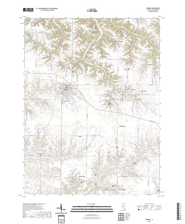
Virginia serves as the focal point of this Cass County landscape, anchored by the Cass County Courthouse and a dense grid of streets including W Beardstown St and S Main St. The surrounding countryside is characterized by a high concentration of family and community burial grounds, such as the John Robertson Cem, John Epler Taylor Cem, and the Holmes Campground Cem, which offer significant genealogical value for researchers of the region's early residents.
Find a feature on this map
76 named features on this map. Tap any name to fly to it.
Don’t see what you’re looking for? This feature index may not catch every label — zoom into the map to look around manually.
Map Details
Date Portrayed2024
Date Published2024
PublisherU.S. Geological Survey
Map TypeTopographic
Scale1:24000
Physical Dimensions24 x 29 inches
Editions of this 2024 Virginia Map
This is the sole edition of this map. No revisions or reprints were ever made.
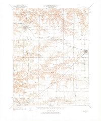
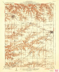
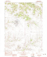
Historical Maps of Burlingame Through Time
4 maps found
Featured Locations
Source Details
SourceU.S. Geological Survey
CopyrightPublic Domain