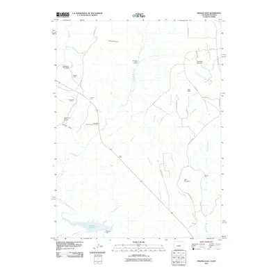
2010 Map of Virginia Dale
USGS Topo · Published 2010About this map
Virginia Dale stands as a focal point in this high-altitude landscape where Larimer County meets the Wyoming border. The map documents a territory defined by historical transit and ranching, evidenced by the Overland Trail Stage Station Cemetery and sprawling holdings like Logan Ranch and Maxwell Ranch. Water management is central to the southern portion of the sheet, where the Halligan Dam impounds the North Fork Cache La Poudre River to form the Halligan Reservoir.
Find a feature on this map
38 named features on this map. Tap any name to fly to it.
Don’t see what you’re looking for? This feature index may not catch every label — zoom into the map to look around manually.
Map Details
Editions of this 2010 Virginia Dale Map
This is the sole edition of this map. No revisions or reprints were ever made.
Other maps of this area

1905 · Sherman
USGS Topo · 1:125,000

1907 · Livermore
USGS Topo · 1:125,000

1909 · Livermore
USGS Topo · 1:125,000

1948 · Sherman Mountains
USGS Topo · 1:62,500

1950 · Sherman Mountains
USGS Topo · 1:62,500

1954 · Cheyenne
USGS Topo · 1:250,000

1954 · Greeley
USGS Topo · 1:250,000

1957 · Greeley
USGS Topo · 1:250,000

1958 · Cheyenne
USGS Topo · 1:250,000

1958 · Greeley
USGS Topo · 1:250,000