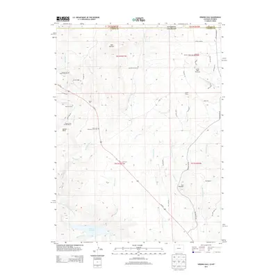
2013 Map of Virginia Dale
USGS Topo · Published 2013About this map
Virginia Dale sits at the heart of this landscape along the border of Colorado and Wyoming, serving as a historic junction where the Overland Trail Stage Station Cem recalls the era of frontier travel. The terrain is defined by dramatic outcrops such as Lovers Leap and Table Mountain, while the southern reaches are dominated by the Halligan Reservoir along the North Fork Cache La Poudre River. Local heritage is deeply rooted in family ranching and spiritual life, evidenced by the presence of Logan Ranch, the Abbey of Saint Walburga, and the Virginia Dale Community Church. Multiple small burial sites, including the Murchland Family Cem and Boyd Family Cem, are scattered throughout the hills, providing a detailed map for genealogists tracing the early settlers of Larimer County. The drainage patterns of Deadman Creek and Dale Creek further illustrate the geography of this high-country transition.
Find a feature on this map
49 named features on this map. Tap any name to fly to it.
Don’t see what you’re looking for? This feature index may not catch every label — zoom into the map to look around manually.
Map Details
Editions of this 2013 Virginia Dale Map
This is the sole edition of this map. No revisions or reprints were ever made.
Other maps of this area

1905 · Sherman
USGS Topo · 1:125,000

1907 · Livermore
USGS Topo · 1:125,000

1909 · Livermore
USGS Topo · 1:125,000

1948 · Sherman Mountains
USGS Topo · 1:62,500

1950 · Sherman Mountains
USGS Topo · 1:62,500

1954 · Cheyenne
USGS Topo · 1:250,000

1954 · Greeley
USGS Topo · 1:250,000

1957 · Greeley
USGS Topo · 1:250,000

1958 · Cheyenne
USGS Topo · 1:250,000

1958 · Greeley
USGS Topo · 1:250,000