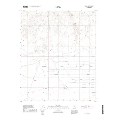
2018 Map of Vulture Mine
USGS Topo · Published 2018About this map
Vulture Mine serves as the central landmark for this arid reach of the Sonoran Desert, where mining history meets modern suburban expansion. The northern terrain is defined by the high relief of the Vulture Mountains and Caballeros Peaks, which give way to the broad Hassayampa Plain in the south. A network of ephemeral drainages, including Mill Wash, Jimmie Wash, and Red Cloud Wash, carves through the landscape, indicating the natural flow of water toward the plains.
Find a feature on this map
48 named features on this map. Tap any name to fly to it.
Don’t see what you’re looking for? This feature index may not catch every label — zoom into the map to look around manually.
Map Details
Editions of this 2018 Vulture Mine Map
This is the sole edition of this map. No revisions or reprints were ever made.
Other maps of this area

1954 · Phoenix
USGS Topo · 1:250,000

1957 · Phoenix
USGS Topo · 1:250,000

1957 · White Tank Mts.
USGS Topo · 1:62,500

1958 · Phoenix
USGS Topo · 1:250,000

1960 · Phoenix
USGS Topo · 1:250,000

1961 · Vulture Mountains
USGS Topo · 1:62,500

1962 · Belmont Mts
USGS Topo · 1:62,500
1964 · Wickenburg
USGS Topo · 1:24,000
1965 · Wickenburg SW
USGS Topo · 1:24,000

1969 · Phoenix
USGS Topo · 1:250,000