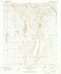
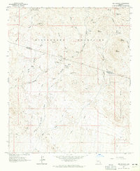
1965 Map of Wickenburg SW
USGS Topo · Published 1967About this map
The Vulture Mountains dominate the northwestern horizon of this 1965 survey, a landscape defined by desert mining and early aviation infrastructure. The broad, sandy corridor of the Hassayampa River and its tributary, San Domingo Wash, carve through the arid terrain, leading toward aviation sites like the Luke Auxiliary Field No 4 (City of Phoenix) and a remote Landing Strip. Traces of earlier industry are evident at the Smith Mill (Site) and the Wolf Mine, while the Atchison Topeka and Santa Fe railroad cuts across the northeastern corner. This map documents a transitional era where traditional resource extraction at Gravel Pit locations and numerous wells exists alongside military and municipal flight training grounds. Notable geological landmarks like the Natural Arch and Red Cliff provide orientation within the network of Jeep Trails that crisscross the foothills.
Find a feature on this map
19 named features on this map. Tap any name to fly to it.
Don’t see what you’re looking for? This feature index may not catch every label — zoom into the map to look around manually.
Map Details
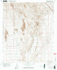
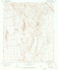
Editions of this 1965 Wickenburg SW Map
3 editions found
Other maps of this area

1954 · Phoenix
USGS Topo · 1:250,000

1957 · Phoenix
USGS Topo · 1:250,000

1957 · White Tank Mts. NE
USGS Topo · 1:24,000

1957 · White Tank Mts.
USGS Topo · 1:62,500

1958 · Phoenix
USGS Topo · 1:250,000

1960 · Phoenix
USGS Topo · 1:250,000

1961 · Vulture Mountains
USGS Topo · 1:62,500

1962 · Belmont Mts
USGS Topo · 1:62,500
1964 · Wickenburg
USGS Topo · 1:24,000
1964 · Red Picacho
USGS Topo · 1:24,000