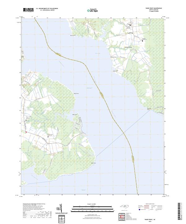
2022 Map of Wade Point
USGS Topo · Published 2022About this map
Albemarle Sound and the Pasquotank River dominate this coastal landscape, where the Intracoastal Waterway cuts a straight course through the brackish waters. The eastern shoreline of Camden County is defined by a series of low-lying points and marshy reaches, including Wade Point, Miles Point, and Poquoson Point, with extensive wetlands such as Black Swamp and Gray Swamp stretching inland.
Find a feature on this map
52 named features on this map. Tap any name to fly to it.
Don’t see what you’re looking for? This feature index may not catch every label — zoom into the map to look around manually.
Map Details
Editions of this 2022 Wade Point Map
This is the sole edition of this map. No revisions or reprints were ever made.
Other maps of this area

1940 · Barco
USGS Topo · 1:62,500

1940 · Powells Point
USGS Topo · 1:62,500

1940 · Wade Point
USGS Topo · 1:62,500

1943 · Wade Point
USGS Topo · 1:62,500

1946 · Eastville
USGS Topo · 1:250,000

1946 · Currituck Sound
USGS Topo · 1:250,000

1948 · Wade Point
USGS Topo · 1:62,500

1948 · Elizabeth City
USGS Topo · 1:62,500

1953 · Norfolk
USGS Topo · 1:250,000

1961 · Eastville
USGS Topo · 1:250,000