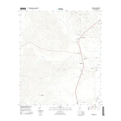
2014 Map of Wagarville
USGS Topo · Published 2014About this map
Bassetts Creek flows through the northern reaches of this Washington County landscape, where small settlements like Wagarville and Cortelyou define the rural character. The map reveals a dense network of family-named cemeteries and landmarks, including the Ben Rodgers Lee Memorial Bridge and Hawthorn Pines Airport. These features, alongside Ebenezer Cem and Lewis Grove Cem, provide valuable waypoints for genealogists tracing ancestral roots in southwestern Alabama.
Find a feature on this map
51 named features on this map. Tap any name to fly to it.
Don’t see what you’re looking for? This feature index may not catch every label — zoom into the map to look around manually.
Map Details
Editions of this 2014 Wagarville Map
This is the sole edition of this map. No revisions or reprints were ever made.
Other maps of this area

1943 · Choctaw Bluff
USGS Topo · 1:62,500

1943 · McIntosh
USGS Topo · 1:62,500

1944 · McIntosh
USGS Topo · 1:62,500

1946 · Choctaw Bluff
USGS Topo · 1:62,500

1953 · Andalusia
USGS Topo · 1:250,000

1953 · Hattiesburg
USGS Topo · 1:250,000

1957 · Andalusia
USGS Topo · 1:250,000

1958 · Hattiesburg
USGS Topo · 1:250,000

1971 · Bigbee
USGS Topo · 1:24,000

1972 · St. Stephens
USGS Topo · 1:24,000