2022 Map of Wakarusa
USGS Topo · Published 2022About this map
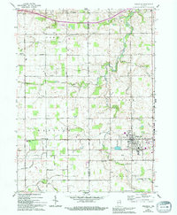
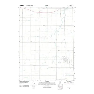
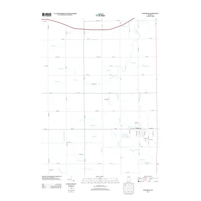
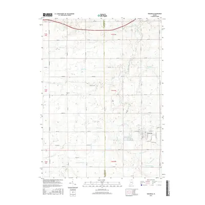
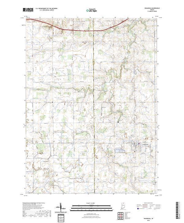
Wakarusa serves as the primary hub of this northern Indiana landscape, where the town's grid of streets like Washington St and S Indiana Ave meets the surrounding agricultural countryside. The terrain is defined by a sophisticated network of drainage engineering, including the Leman Birk Newcomer Ditch and Barkey Ditch, which channel water into Baugo Creek. This intensive drainage system reveals the historical effort required to transform the local topography into productive farmland.
Find a feature on this map
67 named features on this map. Tap any name to fly to it.
Don’t see what you’re looking for? This feature index may not catch every label — zoom into the map to look around manually.
Map Details
Editions of this 2022 Wakarusa Map
This is the sole edition of this map. No revisions or reprints were ever made.
Historical Maps of Wakarusa Through Time
6 maps found