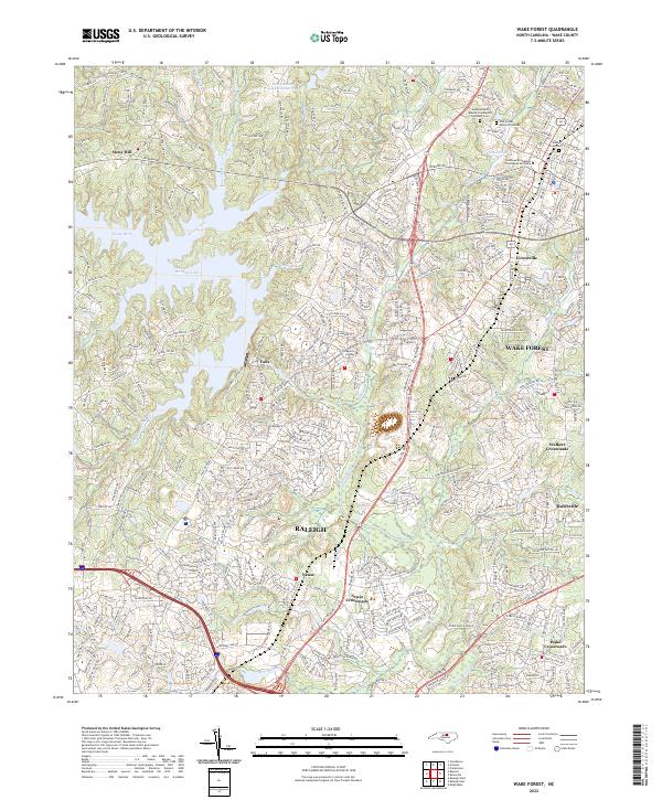
2022 Map of Wake Forest
USGS Topo · Published 2022About this map
The Neuse River and its major impoundments dominate this 2022 survey of northern Wake County, where the sprawling suburban growth of Raleigh meets established towns like Wake Forest and Rolesville. This map captures a landscape defined by rapid modernization, following the path of Capital Blvd and the Norfolk Southern rail line. The academic and religious character of the area is anchored by the Southeastern Baptist Theological Seminary and the Living Arts College, while the residential expansion is evident in the dense network of new streets surrounding older hubs like Forestville and Falls. Smaller, traditional settlements such as Neuse Crossroads and Stony Hill remain as landmarks amidst the contemporary infrastructure. From the banks of Perry Creek to the shores of Brinkley Lake, the survey provides a detailed look at the region's transition from rural crossroads to an integrated part of the Research Triangle's outer reach.
Find a feature on this map
346 named features on this map. Tap any name to fly to it.
Don’t see what you’re looking for? This feature index may not catch every label — zoom into the map to look around manually.
Map Details
Editions of this 2022 Wake Forest Map
This is the sole edition of this map. No revisions or reprints were ever made.
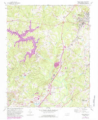
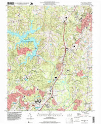
Historical Maps of Forestville Through Time
3 maps found