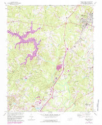
1967 Map of Wake Forest
USGS Topo · Published 1987About this map
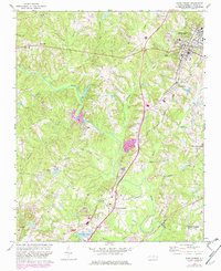
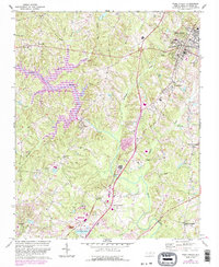
Southeastern Theological Seminary anchors the upper right of this landscape, marking the institutional heart of Wake Forest during a period of transition. The 1987 revisions, shown in purple, highlight the emergence of Falls Lake and the establishment of Falls Lake State Park, which fundamentally altered the geography of the Neuse River basin. Before these waters rose, the area was defined by a network of rural settlements and crossroads including Forestville, Stony Hill, and Neuse Crossroads. The map captures the spiritual and community centers of the era through numerous country churches like Ridge Crest Ch and Mt Vernon Ch. Industrial and recreational footprints are evident at the Quarry and Camp Durant, while the CSX railroad corridor provides a traditional transit spine through the rolling terrain between Smith Creek and Horse Creek.
Find a feature on this map
46 named features on this map. Tap any name to fly to it.
Don’t see what you’re looking for? This feature index may not catch every label — zoom into the map to look around manually.
Map Details
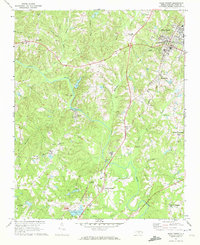
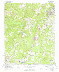
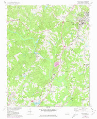
Editions of this 1967 Wake Forest Map
6 editions found
Other maps of this area

1943 · Raleigh
USGS Topo · 1:62,500

1943 · Creedmoor
USGS Topo · 1:62,500

1944 · Creedmoor
USGS Topo · 1:62,500

1951 · Raleigh
USGS Topo · 1:62,500

1953 · Raleigh
USGS Topo · 1:250,000

1953 · Greensboro
USGS Topo · 1:250,000

1954 · Greensboro
USGS Topo · 1:250,000

1954 · Raleigh
USGS Topo · 1:250,000

1962 · Greensboro
USGS Topo · 1:250,000

1966 · Greensboro
USGS Topo · 1:250,000