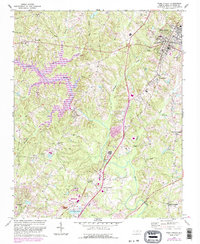
1967 Map of Wake Forest
USGS Topo · Published 1987About this map
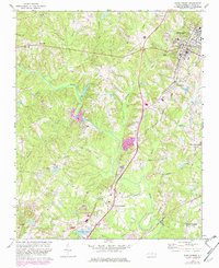
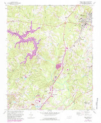
Wake Forest serves as the focal point for this survey, anchored by the presence of the Southeastern Theological Seminary and a local Hospital. The landscape is defined by the winding course of the Neuse River, which feeds into the expanse of Falls Lake. This reservoir and its accompanying Falls Lake State Park dominate the central terrain, where numerous tributaries like Horse Creek and Richland Creek converge. The mapping shows a network of crossroads communities that once dotted the rural corridors of Wake County.
Find a feature on this map
38 named features on this map. Tap any name to fly to it.
Don’t see what you’re looking for? This feature index may not catch every label — zoom into the map to look around manually.
Map Details
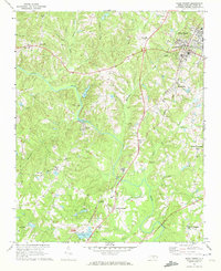
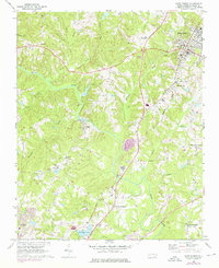
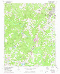
Editions of this 1967 Wake Forest Map
6 editions found
Other maps of this area

1943 · Raleigh
USGS Topo · 1:62,500

1943 · Creedmoor
USGS Topo · 1:62,500

1944 · Creedmoor
USGS Topo · 1:62,500

1951 · Raleigh
USGS Topo · 1:62,500

1953 · Raleigh
USGS Topo · 1:250,000

1953 · Greensboro
USGS Topo · 1:250,000

1954 · Greensboro
USGS Topo · 1:250,000

1954 · Raleigh
USGS Topo · 1:250,000

1962 · Greensboro
USGS Topo · 1:250,000

1966 · Greensboro
USGS Topo · 1:250,000