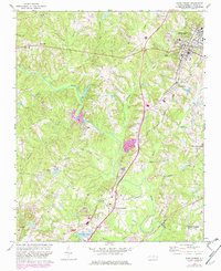
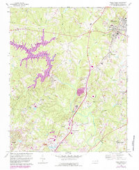
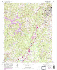
1967 Map of Wake Forest
USGS Topo · Published 1982About this map
Wake Forest serves as the primary anchor for this northern Wake County landscape, dominated by the campus of the Southeastern Theological Seminary and the busy corridor of the Seaboard Coast Line railroad. The terrain is defined by the winding course of the Neuse River, which passes the small community of Falls and supports local industry through features like a Pumping Sta and a Filtration Plant.
Find a feature on this map
40 named features on this map. Tap any name to fly to it.
Don’t see what you’re looking for? This feature index may not catch every label — zoom into the map to look around manually.
Map Details
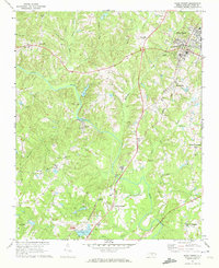
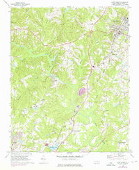
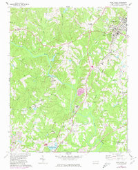
Editions of this 1967 Wake Forest Map
6 editions found
Other maps of this area

1943 · Raleigh
USGS Topo · 1:62,500

1943 · Creedmoor
USGS Topo · 1:62,500

1944 · Creedmoor
USGS Topo · 1:62,500

1951 · Raleigh
USGS Topo · 1:62,500

1953 · Raleigh
USGS Topo · 1:250,000

1953 · Greensboro
USGS Topo · 1:250,000

1954 · Greensboro
USGS Topo · 1:250,000

1954 · Raleigh
USGS Topo · 1:250,000

1962 · Greensboro
USGS Topo · 1:250,000

1966 · Greensboro
USGS Topo · 1:250,000