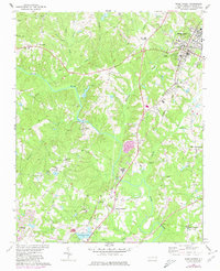
1967 Map of Wake Forest
USGS Topo · Published 1980About this map
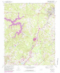
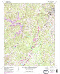
Wake Forest serves as the focal point of this North Carolina landscape, where the Southeastern Theological Seminary and a local High School anchor the town's core. The Seaboard Coast Line railroad creates a distinct corridor through the eastern half of the map, connecting the primary town to Forestville and continuing south toward Neuse. This 1960s survey illustrates a rural-to-suburban transition, with traditional crossroads like Walkers Crossroads and Neuse Crossroads still visible alongside newer developments like trailer parks and multiple golf courses.
Find a feature on this map
40 named features on this map. Tap any name to fly to it.
Don’t see what you’re looking for? This feature index may not catch every label — zoom into the map to look around manually.
Map Details
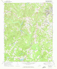
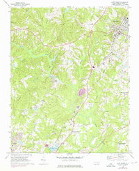
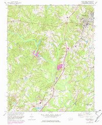
Editions of this 1967 Wake Forest Map
6 editions found
Other maps of this area

1943 · Raleigh
USGS Topo · 1:62,500

1943 · Creedmoor
USGS Topo · 1:62,500

1944 · Creedmoor
USGS Topo · 1:62,500

1951 · Raleigh
USGS Topo · 1:62,500

1953 · Raleigh
USGS Topo · 1:250,000

1953 · Greensboro
USGS Topo · 1:250,000

1954 · Greensboro
USGS Topo · 1:250,000

1954 · Raleigh
USGS Topo · 1:250,000

1962 · Greensboro
USGS Topo · 1:250,000

1966 · Greensboro
USGS Topo · 1:250,000