
1930 Map of Wakefield
USGS Topo · Published 1930About this map
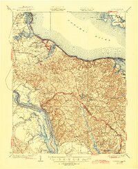
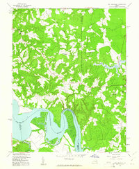
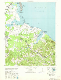
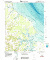
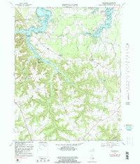
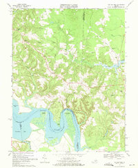
Wakefield (Birthplace of Washington) and the Monroe Birthplace anchor this landscape, highlighting the Northern Neck's role as the cradle of American presidents. The topography reveals an intricate network of landings and wharves along the Potomac River and Rappahannock River, including Leedstown and the abandoned Blanfield Wharf. These riverfront sites represent a legacy of maritime commerce that once defined Westmoreland and Essex counties.
Find a feature on this map
119 named features on this map. Tap any name to fly to it.
Don’t see what you’re looking for? This feature index may not catch every label — zoom into the map to look around manually.
Map Details
Editions of this 1930 Wakefield Map
This is the sole edition of this map. No revisions or reprints were ever made.
Historical Maps of Colonial Beach Through Time
21 maps found
1930 Wakefield
Westmoreland County, VA
1932 Wakefield
Westmoreland County, VA

1942 Rollins Fork
Westmoreland County, VA
1943 Machodoc
Westmoreland County, VA
1943 Wakefield
Westmoreland County, VA
1943 Yeocomico River
Westmoreland County, VA
1949 Rollins Fork
Westmoreland County, VA
1953 Wakefield
Westmoreland County, VA
1968 Colonial Beach North
Westmoreland County, VA
1968 Colonial Beach South
Westmoreland County, VA
1968 Kinsale
Westmoreland County, VA
1968 Machodoc
Westmoreland County, VA
1968 Rollins Fork
Westmoreland County, VA

1968 Stratford Hall
Westmoreland County, VA
1981 Stratford Hall
Westmoreland County, VA
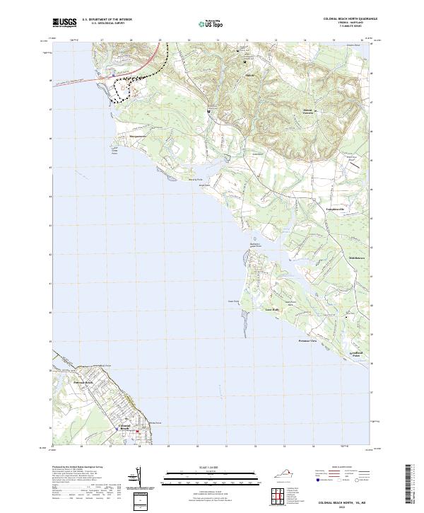
2022 Colonial Beach North
Westmoreland County, VA
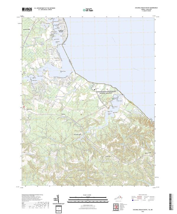
2022 Colonial Beach South
Westmoreland County, VA
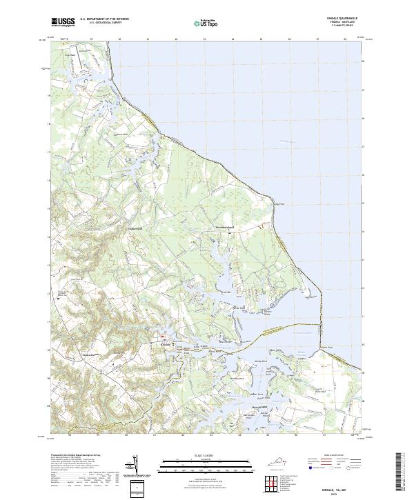
2022 Kinsale
Westmoreland County, VA
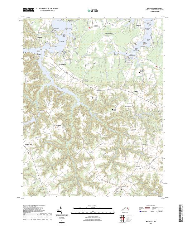
2022 Machodoc
Westmoreland County, VA
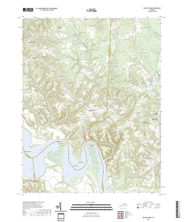
2022 Rollins Fork
Westmoreland County, VA
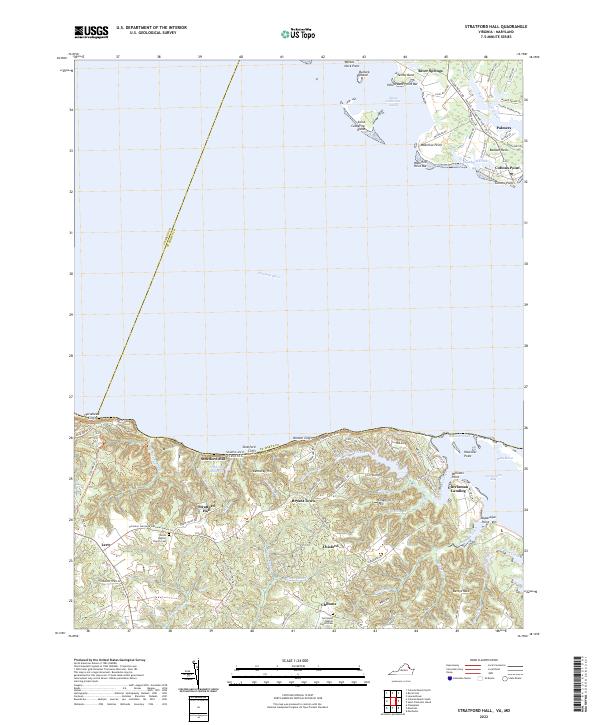
2022 Stratford Hall
Westmoreland County, VA