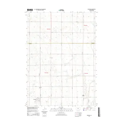
2015 Map of Wakonda
USGS Topo · Published 2015About this map
Wakonda anchors this prairie landscape, where the town street grid is clearly defined by routes like Slant St, Ohio St, and Montana St. This part of Clay County and Turner County reveals a highly managed agricultural environment, evidenced by an extensive network of drainage features including Flynn Dickerson Ditch, Bonne Ditch, and Klepke Ditch. These man-made channels support the larger natural waterways of the Vermillion River and Spring Cr. Genealogists and local historians can locate established landmarks such as Holland Cem and Columkill Cem, while the inclusion of Norwegian Gulch and Colfax Corner highlights specific local place-names and topographic identifiers that define the rural character of the region. The map provides a precise layout of the section lines and township ranges that have organized this territory since its early settlement.
Find a feature on this map
75 named features on this map. Tap any name to fly to it.
Don’t see what you’re looking for? This feature index may not catch every label — zoom into the map to look around manually.
Map Details
Editions of this 2015 Wakonda Map
This is the sole edition of this map. No revisions or reprints were ever made.
Other maps of this area

1897 · Canton
USGS Topo · 1:125,000

1898 · Parker
USGS Topo · 1:125,000

1898 · Elk Point
USGS Topo · 1:125,000

1900 · Canton
USGS Topo · 1:125,000

1901 · Elk Point
USGS Topo · 1:125,000

1907 · Elk Point
USGS Topo · 1:125,000

1955 · Sioux City
USGS Topo · 1:250,000

1955 · Sioux Falls
USGS Topo · 1:250,000

1957 · Gayville
USGS Topo · 1:24,000

1958 · Sioux City
USGS Topo · 1:250,000