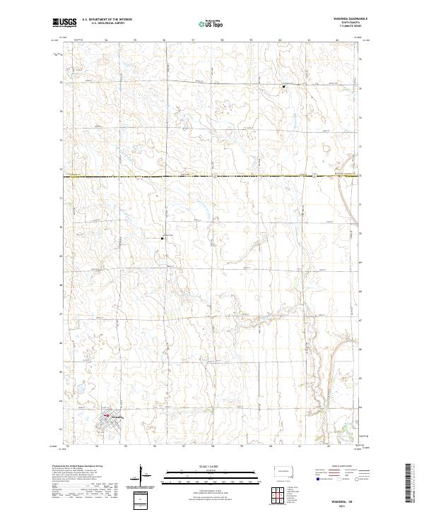
2021 Map of Wakonda
USGS Topo · Published 2021About this map
Wakonda anchors this rural landscape at the crossroads of Slant St and Kansas St, serving as a primary point of interest in this portion of Clay Co and Turner Co. The surrounding terrain is defined by a sophisticated network of agricultural water management, including the Flynn Dickerson Ditch, Klepke Ditch, and Bonine Ditch. These man-made channels complement natural drainage like Frog Cr and Spring Cr, eventually feeding toward the Vermillion River in the southeast corner.
Find a feature on this map
40 named features on this map. Tap any name to fly to it.
Don’t see what you’re looking for? This feature index may not catch every label — zoom into the map to look around manually.
Map Details
Editions of this 2021 Wakonda Map
This is the sole edition of this map. No revisions or reprints were ever made.
Other maps of this area

1897 · Canton
USGS Topo · 1:125,000

1898 · Parker
USGS Topo · 1:125,000

1898 · Elk Point
USGS Topo · 1:125,000

1900 · Canton
USGS Topo · 1:125,000

1901 · Elk Point
USGS Topo · 1:125,000

1907 · Elk Point
USGS Topo · 1:125,000

1955 · Sioux City
USGS Topo · 1:250,000

1955 · Sioux Falls
USGS Topo · 1:250,000

1957 · Gayville
USGS Topo · 1:24,000

1958 · Sioux City
USGS Topo · 1:250,000