2023 Map of Waldo
USGS Topo · Published 2023About this map
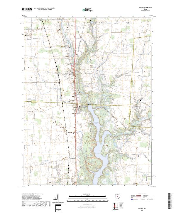
Waldo and Norton serve as the primary hubs in this section of central Ohio, where the drainage of the Olentangy River and Delaware Lake shapes the rural landscape. The map reveals a dense network of local cemeteries that anchor the history of the region, including Wolfinger Cem, Augenstein Cem, and the Mayfield Cem. The terrain is defined by a series of tributary runs such as Brondige Run and Norton Run that flow toward the larger river valley. Local travel is facilitated by a grid of township and county highways, with US Hwy 23 N providing the major north-south corridor. Smaller settlements like Lynn in the north and Troyton in the south reflect the enduring agricultural character of Marion and Delaware counties, while landmarks like Fishermans Pt suggest the recreational importance of the shoreline.
Find a feature on this map
111 named features on this map. Tap any name to fly to it.
Don’t see what you’re looking for? This feature index may not catch every label — zoom into the map to look around manually.
Map Details
Editions of this 2023 Waldo Map
This is the sole edition of this map. No revisions or reprints were ever made.
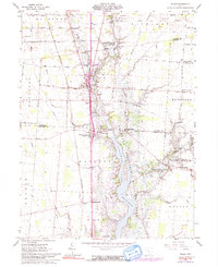
Historical Maps of Troy Township Through Time
Featured Locations
- Marlboro Township, OH
- Radnor Township, OH
- Pleasant Township, OH
- Prospect Township, OH
- Waldo, Waldo Township