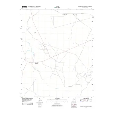
2011 Map of Walker Creek Reservoir
USGS Topo · Published 2011About this map
Mexican Water Trading Post serves as a central point of reference in this high-desert landscape near the Arizona-Utah border. The topography is defined by the broad expanse of the Nokaito Bench to the north and the prominent Black Hill to the west. Water management and drainage are central themes of the map, with the Walker Creek Reservoir and the winding course of Walker Creek providing essential infrastructure in an arid environment. The road network is largely comprised of tribal routes such as Indian Rte-5054 and Indian Rte-505, which intersect near the trading post, illustrating the historical and modern connectivity of this region within the Navajo Nation. Seasonal watercourses like Willow Spring Wash and the presence of Willow Spring further highlight the critical locations of water sources for local inhabitants and travelers during this period.
Find a feature on this map
13 named features on this map. Tap any name to fly to it.
Don’t see what you’re looking for? This feature index may not catch every label — zoom into the map to look around manually.
Map Details
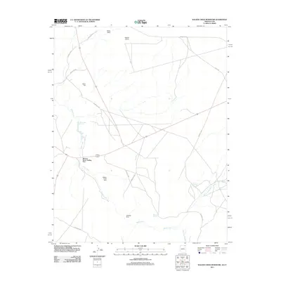
Editions of this 2011 Walker Creek Reservoir Map
2 editions found
Other maps of this area

1886 · Abajo
USGS Topo · 1:250,000

1892 · Abajo
USGS Topo · 1:250,000

1892 · Canyon De Chelly
USGS Topo · 1:250,000

1893 · Abajo
USGS Topo · 1:250,000

1953 · Dinne Mesa NW
USGS Topo · 1:24,000

1953 · Dinne Mesa SW
USGS Topo · 1:24,000

1953 · Toh-Atin Mesa
USGS Topo · 1:62,500

1954 · Shiprock
USGS Topo · 1:250,000

1956 · Cortez
USGS Topo · 1:250,000

1958 · Cortez
USGS Topo · 1:250,000
Featured Places
- Shiprock Agency
- Mexican Water Trading Post, Shiprock Agency
- Apache County, AZ
- San Juan County, UT
- United States