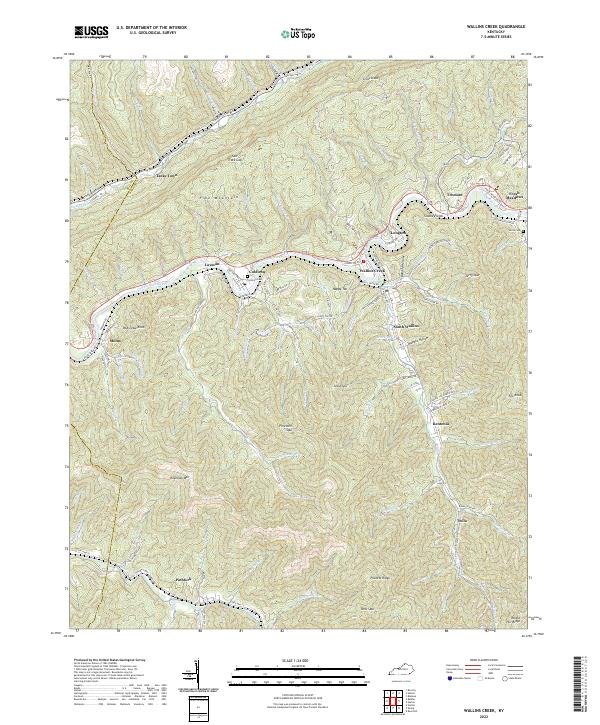
2022 Map of Wallins Creek
USGS Topo · Published 2022About this map
The Cumberland River carves a deep valley through the center of this landscape, separating the massive bulk of Pine Mountain to the north from the intricate ridges of the south. This 2022 survey documents a series of tight-knit communities clustered along the river and its tributaries, including Wallins Creek, Coldiron, and South Wallins. The settlement pattern reflects the traditional topography of the Kentucky coalfields, where roads like the Old Pike Hwy and State Hwy 72 follow narrow valley floors while cemetery sites such as Coldiron Cem and Gross Cem occupy higher ground. Evidence of the region's steep relief is found in the numerous named spurs and knobs, such as Jesse Spur and Bob Lowe Knob, which hem in small creek settlements like Twila and Pathfork. The map also captures local place names like Tacky Town and Sloane Fields, preserving the specific nomenclature of this mountain region.
Find a feature on this map
119 named features on this map. Tap any name to fly to it.
Don’t see what you’re looking for? This feature index may not catch every label — zoom into the map to look around manually.
Map Details
Editions of this 2022 Wallins Creek Map
This is the sole edition of this map. No revisions or reprints were ever made.
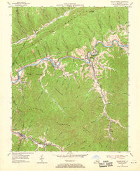
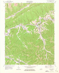
Historical Maps of Tacky Town Through Time
3 maps found