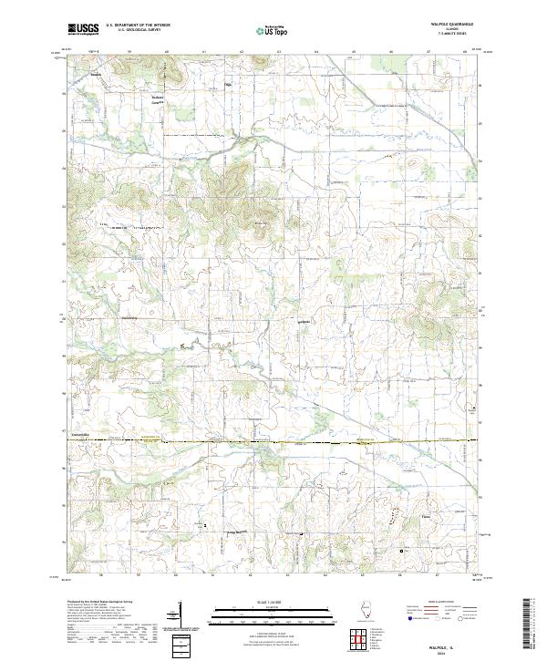
2024 Map of Walpole
USGS Topo · Published 2024About this map
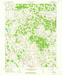
Walpole and the surrounding farmland of southern Hamilton County appear here in a landscape defined by small crossroads settlements and quiet watercourses. This rural expanse is characterized by its network of county roads connecting local hubs like Braden, Olga, and Tuckers Corners in the north, stretching down to the southern boundary where Long Branch and Tison sit near the border with Saline County. The terrain is relatively level, broken by low rises such as Bunker Hill and drained by the branching systems of Hogg Creek, Contrary Creek, and Rector Creek. For those tracing local families, the map provides precise locations for several rural burial grounds, including Durham Cem, Barton Cem, and Rhine Cem. These cemeteries, often the most enduring markers of early 20th-century family homesteads, are scattered across the township lines, offering a clear view of the area's social and geographic history.
Find a feature on this map
78 named features on this map. Tap any name to fly to it.
Don’t see what you’re looking for? This feature index may not catch every label — zoom into the map to look around manually.
Map Details
Editions of this 2024 Walpole Map
This is the sole edition of this map. No revisions or reprints were ever made.
Historical Maps of Olga Through Time
8 maps found