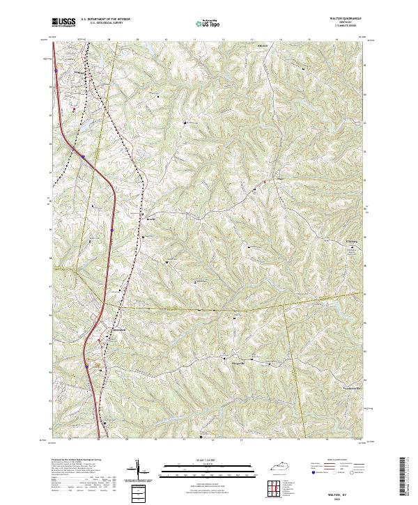
2022 Map of Walton
USGS Topo · Published 2022About this map
The rolling hills of Northern Kentucky converge at the triple border of Boone, Kenton, and Grant Counties, where the communities of Walton and Crittenden serve as anchors along the historical transit corridors. This modern data reflects a landscape defined by deeply incised drainages, including Sawyers Fork, McCoy Fork, and the headwaters of the N Fork Grassy Cr. The prevalence of family and church-affiliated burial sites, such as the Crittenden Christian Cem and Wilmington Baptist Church-Cem, provides a detailed record of the region's multigenerational settlement. Smaller hamlets like Bracht, Fiskburg, and Flingsville remain distinct points of interest along the winding routes of Madison Pike and Gardnersville Rd. Water features like Boone Lake and Leary Lake offer contrast to the predominantly upland terrain, while numerous small cemeteries such as Byland Cem and Northcutt Cem are preserved among the ridges and valleys.
Find a feature on this map
109 named features on this map. Tap any name to fly to it.
Don’t see what you’re looking for? This feature index may not catch every label — zoom into the map to look around manually.
Map Details
Editions of this 2022 Walton Map
This is the sole edition of this map. No revisions or reprints were ever made.
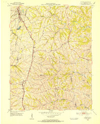
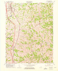
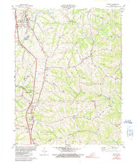
Historical Maps of Bracht Through Time
4 maps found