2023 Map of Wanship
USGS Topo · Published 2023About this map
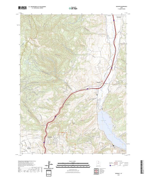
The Weber River winds through the heart of this valley, flanked by the high elevations of the Wasatch Range to the west and the expansive Rockport Lake to the south. This 2023 survey documents the intersection of modern infrastructure and deep-rooted local history near Wanship and Hoytsville. Along the eastern shore of the reservoir, researchers can identify several small, family-named burial grounds including Seymour / Davis Cem and the Cooper-Hughes-Vickory Cem, which speak to the early settlement of this corridor. Transportation history is prominent, with the Old Lincoln Hwy and the converted Rail Trl following the river’s natural path. To the southwest, the development of Silver Summit and East Basin highlights the contemporary growth in the foothills above Parleys Park, while the surrounding terrain is defined by complex drainages like Alexander Canyon and Lewis Canyon.
Find a feature on this map
121 named features on this map. Tap any name to fly to it.
Don’t see what you’re looking for? This feature index may not catch every label — zoom into the map to look around manually.
Map Details
Editions of this 2023 Wanship Map
This is the sole edition of this map. No revisions or reprints were ever made.