Loading...
Loading map...1967 Map of Wanship
USGS Topo · Published 1970About this map
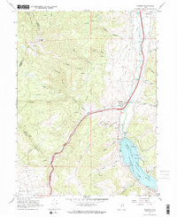
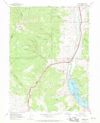
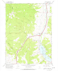
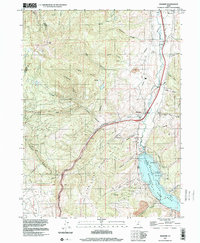
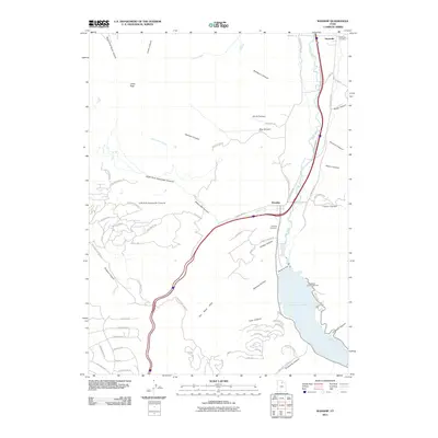
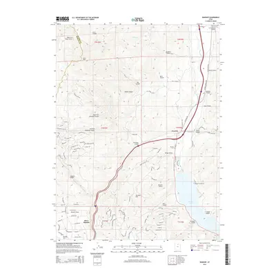
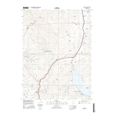
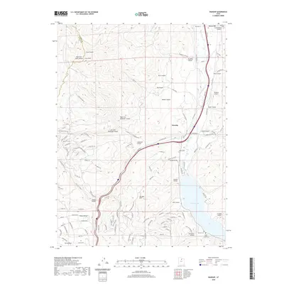
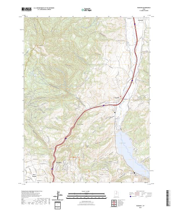
The confluence of the Weber River and Silver Creek serves as the central focal point of this 1967 survey. The settlement of Wanship is captured just before major modern infrastructural shifts, positioned along the Union Pacific line as it follows the river valley. To the south, the recently completed Wanship Dam impounds the waters of Rockport Lake, creating the centerpiece of Rockport State Park. This transition from riverine agriculture to a managed reservoir system is a primary feature of the landscape during this era.
Find a feature on this map
44 named features on this map. Tap any name to fly to it.
Don’t see what you’re looking for? This feature index may not catch every label — zoom into the map to look around manually.
Map Details
Date Portrayed1967
Date Published1970
PublisherU.S. Geological Survey
Map TypeTopographic
Scale1:24,000
Physical Dimensions22 x 26.9 inches
Editions of this 1967 Wanship Map
3 editions found
Historical Maps of Hoytsville Through Time
7 maps found
Featured Locations
Source Details
SourceU.S. Geological Survey
CopyrightPublic Domain