Loading...
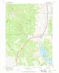
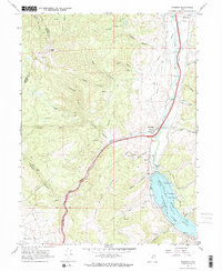
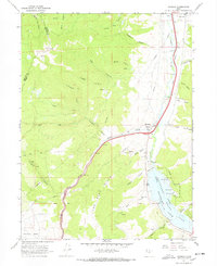
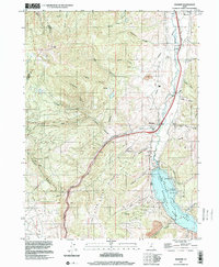
Loading map...1967 Map of Wanship
USGS Topo · Published 1969About this map
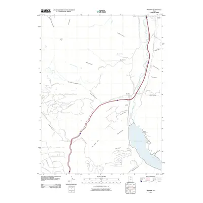
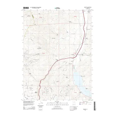
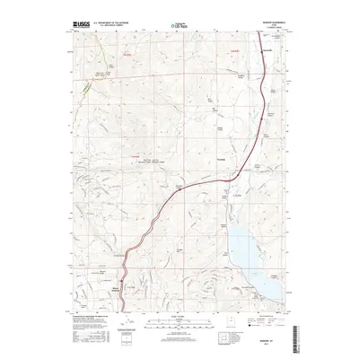
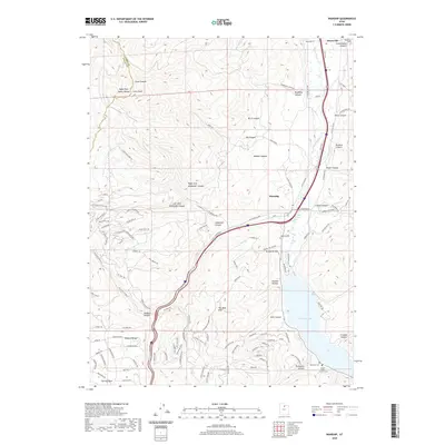
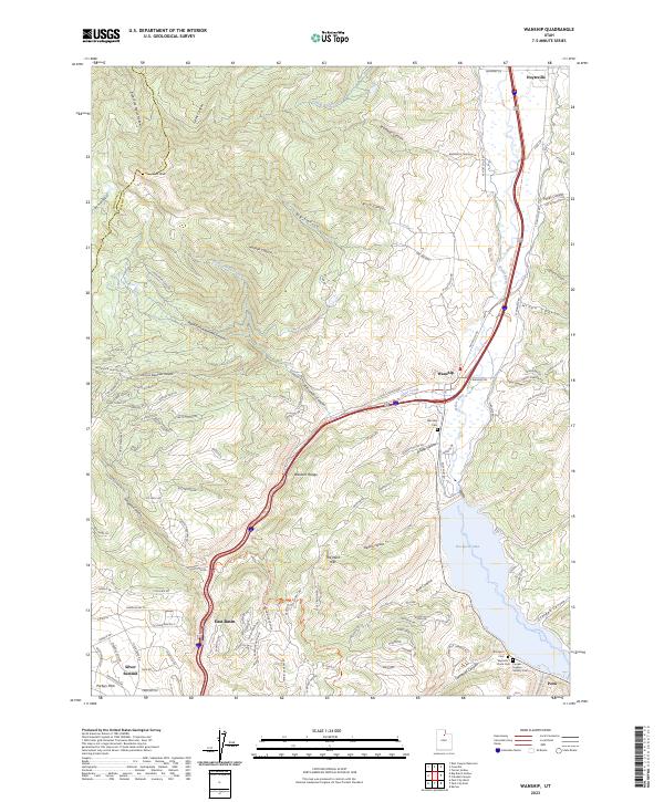
Wanship and Hoytsville anchor this 1967 survey of the Weber River valley as it winds through northern Utah. The landscape is defined by the massive impoundment of Rockport Lake, held back by the Wanship Dam. This reservoir, managed as Rockport State Park, transformed the local geography, submerging sections of the canyon while creating a new recreational hub complete with a Boat Ramp and campgrounds.
Find a feature on this map
41 named features on this map. Tap any name to fly to it.
Don’t see what you’re looking for? This feature index may not catch every label — zoom into the map to look around manually.
Map Details
Date Portrayed1967
Date Published1969
PublisherU.S. Geological Survey
Map TypeTopographic
Scale1:24,000
Physical Dimensions22 x 26.9 inches
Editions of this 1967 Wanship Map
3 editions found
Historical Maps of Hoytsville Through Time
7 maps found
Featured Locations
Source Details
SourceU.S. Geological Survey
CopyrightPublic Domain