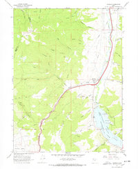
1967 Map of Wanship
USGS Topo · Published 1970About this map
Rockport State Lake Park and the impounded waters of Rockport Lake dominate the southeastern landscape of this late 1960s survey. The Wanship Dam controls the flow of the Weber River, which winds northward through a valley shared by the Union Pacific railroad. This corridor serves as a primary transit artery, connecting the settlement of Wanship with Hoytsville to the north.
Find a feature on this map
48 named features on this map. Tap any name to fly to it.
Don’t see what you’re looking for? This feature index may not catch every label — zoom into the map to look around manually.
Map Details
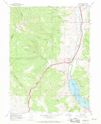
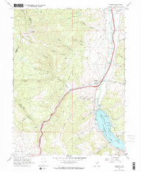
Editions of this 1967 Wanship Map
3 editions found
Other maps of this area

1885 · Salt Lake
USGS Topo · 1:250,000

1900 · Coalville
USGS Topo · 1:125,000

1903 · Coalville
USGS Topo · 1:125,000

1925 · Ft. Douglas
USGS Topo · 1:125,000

1928 · Ft. Douglas
USGS Topo · 1:125,000

1954 · Salt Lake City
USGS Topo · 1:250,000

1955 · Park City East
USGS Topo · 1:24,000

1955 · Park City West
USGS Topo · 1:24,000

1958 · Salt Lake City
USGS Topo · 1:250,000

1960 · Salt Lake City
USGS Topo · 1:250,000