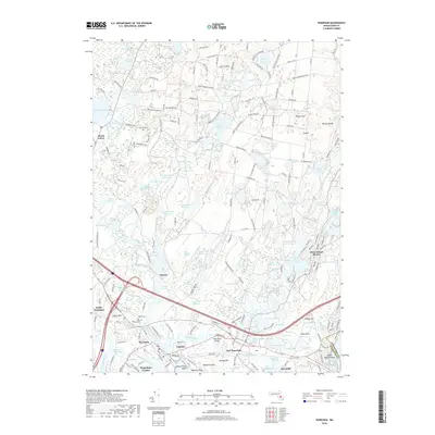
2018 Map of Wareham
USGS Topo · Published 2018About this map
Wankinco River and its intricate drainage system define the industrial and agricultural character of this coastal Massachusetts landscape. The map reveals the extensive network of the Tihonet Cranberry Bogs and Harwich Bogs, illustrating the region's historical reliance on cranberry cultivation. These wetlands are supported by numerous reservoirs such as Blackmere Reservoir and the Wankinco River Reservoir.
Find a feature on this map
219 named features on this map. Tap any name to fly to it.
Don’t see what you’re looking for? This feature index may not catch every label — zoom into the map to look around manually.
Map Details
Editions of this 2018 Wareham Map
This is the sole edition of this map. No revisions or reprints were ever made.
Other maps of this area
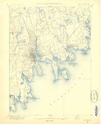
1885 · New Bedford
USGS Topo · 1:62,500

1885 · Middleboro
USGS Topo · 1:62,500
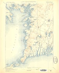
1886 · Falmouth
USGS Topo · 1:62,500
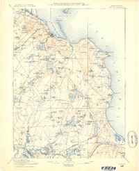
1886 · Plymouth
USGS Topo · 1:62,500
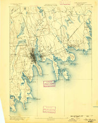
1888 · New Bedford
USGS Topo · 1:62,500
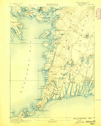
1888 · Falmouth
USGS Topo · 1:62,500
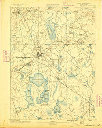
1888 · Middleboro
USGS Topo · 1:62,500
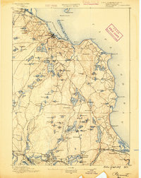
1889 · Plymouth
USGS Topo · 1:62,500
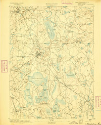
1893 · Middleboro
USGS Topo · 1:62,500
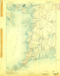
1893 · Falmouth
USGS Topo · 1:62,500