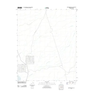
2011 Map of Warm Springs SW
USGS Topo · Published 2011About this map
Warm Springs Wash and Fivemile Wash weave through the desert terrain of this Mohave County region, defining the drainage patterns of the arid landscape. The map captures a residential grid in the southwest, characterized by streets with regional names such as Mesa Dr, Yavapai Dr, and Coconino Dr. The transport network is anchored by the Oatman Topock Hwy and Hwy 95, which facilitate movement through the open country. Local infrastructure is evidenced by specialized routes like Gasoline Rd and Powell Lake Rd, while the proximity to water is suggested by labels like Shore Pkwy and Beach Dr. This map documents a phase of desert development where residential expansion met established drainage washes and historic thoroughfares.
Find a feature on this map
32 named features on this map. Tap any name to fly to it.
Don’t see what you’re looking for? This feature index may not catch every label — zoom into the map to look around manually.
Map Details
Editions of this 2011 Warm Springs SW Map
This is the sole edition of this map. No revisions or reprints were ever made.
Other maps of this area

1903 · Needles
USGS Topo · 1:125,000

1904 · Needles Special
USGS Topo · 1:125,000

1943 · Topock
USGS Topo · 1:62,500

1950 · Topock
USGS Topo · 1:62,500

1950 · Sawtooth Range
USGS Topo · 1:62,500

1950 · Needles
USGS Topo · 1:62,500

1951 · Topock
USGS Topo · 1:62,500

1951 · Sawtooth Range
USGS Topo · 1:62,500

1952 · Needles
USGS Topo · 1:62,500

1954 · Needles
USGS Topo · 1:250,000