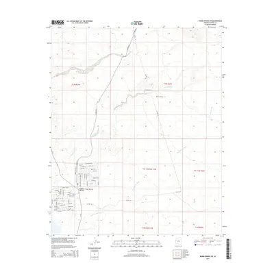
2014 Map of Warm Springs SW
USGS Topo · Published 2014About this map
Golden Shores sits at the southwestern edge of this desert landscape, characterized by an organized residential grid that contrasts with the surrounding Mojave Desert. The community is defined by streets named for regional geography and indigenous groups, including Yavapai Dr, Cochise Dr, and Apache Pky. To the north and east, the terrain is dominated by vast drainage systems like Fivemile Wash and Warm Springs Wash, which carve through the arid plains towards the Colorado River corridor just beyond the map's western edge.
Find a feature on this map
90 named features on this map. Tap any name to fly to it.
Don’t see what you’re looking for? This feature index may not catch every label — zoom into the map to look around manually.
Map Details
Editions of this 2014 Warm Springs SW Map
This is the sole edition of this map. No revisions or reprints were ever made.
Other maps of this area

1903 · Needles
USGS Topo · 1:125,000

1904 · Needles Special
USGS Topo · 1:125,000

1943 · Topock
USGS Topo · 1:62,500

1950 · Topock
USGS Topo · 1:62,500

1950 · Sawtooth Range
USGS Topo · 1:62,500

1950 · Needles
USGS Topo · 1:62,500

1951 · Topock
USGS Topo · 1:62,500

1951 · Sawtooth Range
USGS Topo · 1:62,500

1952 · Needles
USGS Topo · 1:62,500

1954 · Needles
USGS Topo · 1:250,000