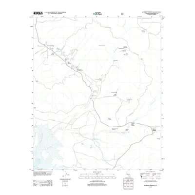
2012 Map of Warner Springs
USGS Topo · Published 2012About this map
Warner Springs and the expansive waters of Lake Henshaw anchor this Southern California landscape at the start of the 2010s. The region is defined by a network of ranching properties, including Omaya Ranch and Chamberlain Ranch, alongside specialized facilities like the Warner Springs Gliderport and the Puerta La Cruz Conservation Camp. The San Luis Rey River winds through the canyons, connecting small settlements such as Holcomb Village and Sunshine Summit. Local geography is marked by varied water features including Swan Lake, Lost Lake, and the specific Warner Hot Spring. The presence of several campgrounds, such as the Indian Flats Group Campground, indicates the area's transition into a destination for recreation and conservation, while long-standing routes like Chihuahua Valley Rd and Puerta La Cruz Rd maintain the traditional connectivity of this backcountry terrain.
Find a feature on this map
50 named features on this map. Tap any name to fly to it.
Don’t see what you’re looking for? This feature index may not catch every label — zoom into the map to look around manually.
Map Details
Editions of this 2012 Warner Springs Map
This is the sole edition of this map. No revisions or reprints were ever made.
Other maps of this area

1903 · Ramona
USGS Topo · 1:125,000

1904 · Southern California Sheet No. 2
USGS Topo · 1:250,000

1939 · Warner Springs
USGS Topo · 1:62,500

1939 · Santa Ysabel
USGS Topo · 1:62,500

1939 · Palomar Mountain
USGS Topo · 1:62,500

1942 · Ramona
USGS Topo · 1:62,500

1943 · Santa Ysabel
USGS Topo · 1:62,500

1943 · Warner Springs
USGS Topo · 1:62,500

1947 · Ramona
USGS Topo · 1:62,500

1947 · Santa Ana
USGS Topo · 1:250,000