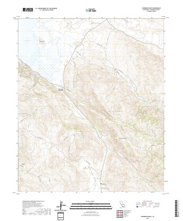
2021 Map of Warners Ranch
USGS Topo · Published 2021About this map
Santa Ysabel Asistencia Cem serves as a significant historical anchor in this San Diego County landscape, situated near the headwaters of the Santa Ysabel Cr. The terrain is defined by the high elevations of the Volcan Mountains and Santa Ysabel Peak, creating a complex network of canyons and valleys. Settled pockets like Morettis Junction and Juan Flat are connected by a web of mountain roads, including Old Gold Mine Rd, which points to the area's prospecting history. The northern reaches are dominated by the shoreline of Lake Henshaw, where the waters of Matagual Cr enter the valley. This 2021 survey documents a region where modern aviation at Hoffman Airport exists alongside traditional ranching routes like Mesa Grande Rd and Bloomdale Ranch Rd.
Find a feature on this map
39 named features on this map. Tap any name to fly to it.
Don’t see what you’re looking for? This feature index may not catch every label — zoom into the map to look around manually.
Map Details
Editions of this 2021 Warners Ranch Map
This is the sole edition of this map. No revisions or reprints were ever made.
Other maps of this area

1903 · Ramona
USGS Topo · 1:125,000

1904 · Southern California Sheet No. 2
USGS Topo · 1:250,000

1939 · Warner Springs
USGS Topo · 1:62,500

1939 · Santa Ysabel
USGS Topo · 1:62,500

1939 · Palomar Mountain
USGS Topo · 1:62,500

1942 · Ramona
USGS Topo · 1:62,500

1943 · Santa Ysabel
USGS Topo · 1:62,500

1943 · Warner Springs
USGS Topo · 1:62,500

1947 · Ramona
USGS Topo · 1:62,500

1947 · Santa Ana
USGS Topo · 1:250,000