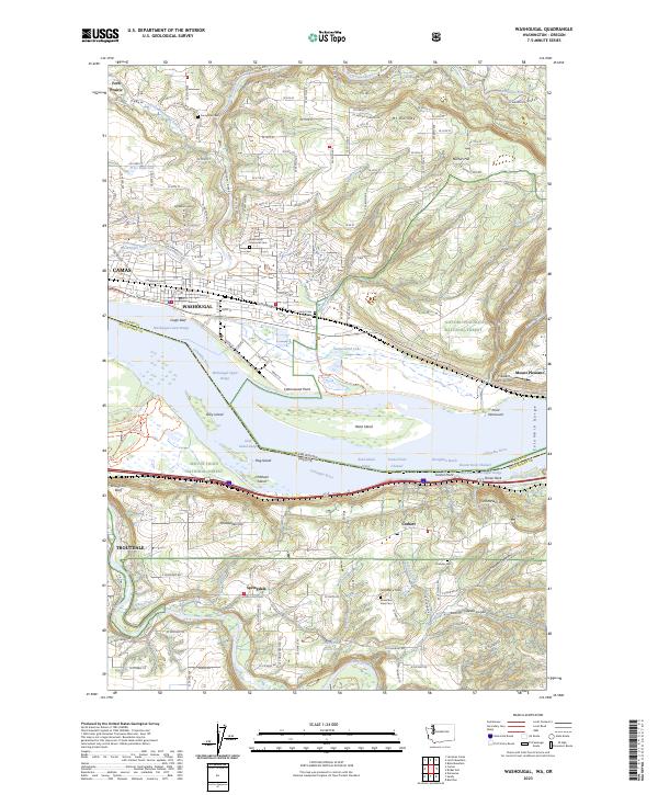
2023 Map of Washougal
USGS Topo · Published 2023About this map
The Columbia River serves as a massive geographic divider in this recent survey, separating Washougal and Camas on the Washington shore from Troutdale and Corbett in Oregon. The river landscape is defined by complex water features and islands, including Reed Island, Gary Island, and the protected wetlands of the Steigerwald Lake National Wildlife Refuge. This area represents a critical intersection of navigation and conservation, where the river narrows into the Broughton Reach.
Find a feature on this map
85 named features on this map. Tap any name to fly to it.
Don’t see what you’re looking for? This feature index may not catch every label — zoom into the map to look around manually.
Map Details
Editions of this 2023 Washougal Map
This is the sole edition of this map. No revisions or reprints were ever made.
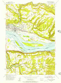
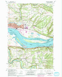
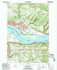
Historical Maps of Camas Through Time
4 maps found