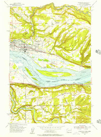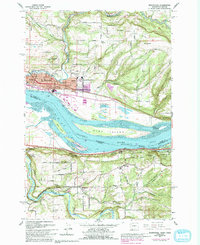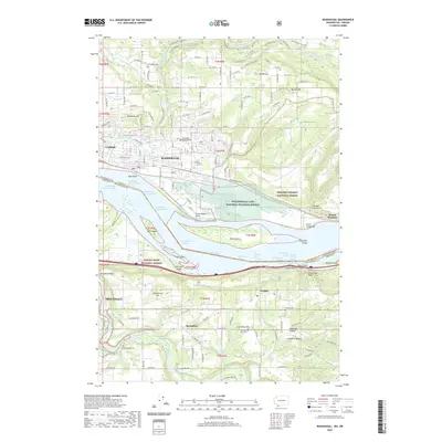
1994 Map of Washougal
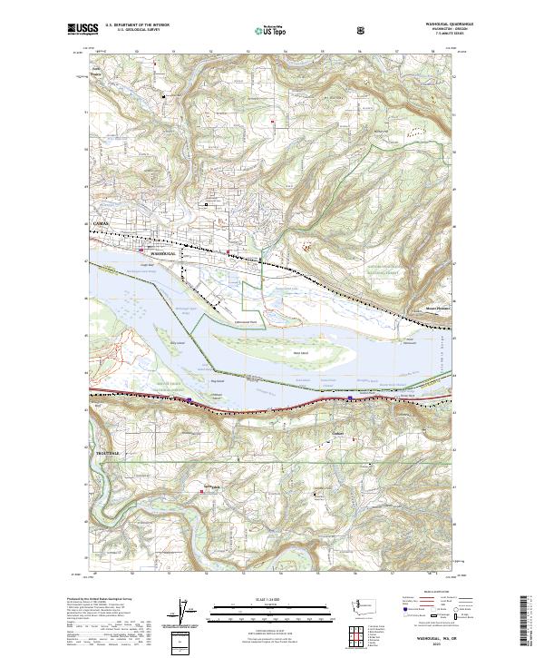
USGS Topo · Published 1996About this map
The Columbia River serves as the powerful boundary between Washington and Oregon on this 1990s-era map, where the cities of Camas and Washougal dominate the northern shore. This period shows a landscape defined by significant conservation and recreation areas, including the Steigerwald Lake National Wildlife Refuge and Rooster Rock State Park. Local infrastructure is well-documented, featuring family and community landmarks like the Washougal Memorial Cemetery and the Grange Hall near Corbett. The transportation network is anchored by the Burlington Northern Railroad and the Columbia River Highway, tracing the steep river gorge. In addition to the urban center, the map details many local institutions such as Washougal High Sch and Hathaway Sch, providing a clear view of the area's civic development at the end of the twentieth century.
Find a feature on this map
53 named features on this map. Tap any name to fly to it.
Don’t see what you’re looking for? This feature index may not catch every label — zoom into the map to look around manually.
Map Details
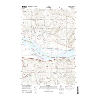
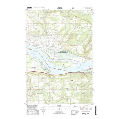
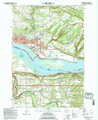
Editions of this 1994 Washougal Map
This is the sole edition of this map. No revisions or reprints were ever made.
Historical Maps of Camas Through Time
8 maps found