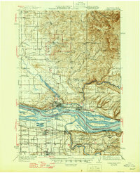
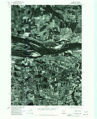
1941 Map of Camas
USGS Topo · Published 1941About this map
The Columbia River forms the central artery of this landscape, separating the developing riverfront industrial sites of Camas and Washougal in Washington from the agricultural flats and river landings of Oregon. The map documents the complex water systems of the region, from the Camas Water Works Dam in the hills to the numerous lakes and sloughs like Lacamas Lake and Steigerwald Lake. The presence of the Camp Bonneville Military Reservation and the Silver Star Mine high on the ridges of Larch Mountain suggests the diverse land use of the era, from defense and extraction to the rural school network including Grass Valley Sch and Fir Grove Sch. Transportation is defined by the Spokane Portland and Seattle Ry and the Union Pacific, which parallel the river and connect settlements like Troutdale and Fairview.
Find a feature on this map
87 named features on this map. Tap any name to fly to it.
Don’t see what you’re looking for? This feature index may not catch every label — zoom into the map to look around manually.
Map Details
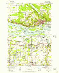
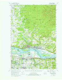
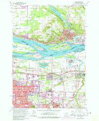
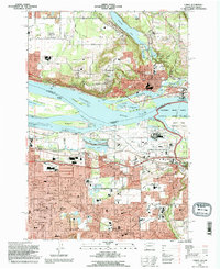
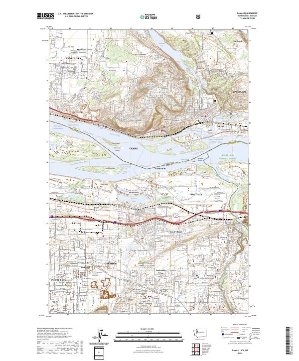
Editions of this 1941 Camas Map
This is the sole edition of this map. No revisions or reprints were ever made.
Historical Maps of Portland Through Time
8 maps found