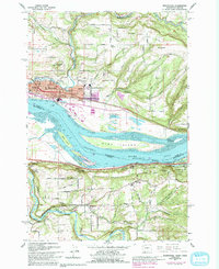
1961 Map of Washougal
USGS Topo · Published 1993About this map
The Columbia River dominates this landscape where the borders of Washington and Oregon meet, carving through the Broughton Reach and surrounding significant landforms like Reed Island and Gary Island. On the northern shore, the growing industrial and residential hubs of Camas and Washougal are depicted during a period of mid-century expansion, supported by the S P & S Ry line and various schools including Hathaway Sch and Gause Sch. The map reveals a transition from these urban centers to the elevated terrain of Mt Norway and Nichols Hill. South of the river in Oregon, the landscape shifts toward the dramatic cliffs of the Columbia River Gorge, featuring landmarks such as Rooster Rock and the high vantage of Chanticleer Point. Local history is well-preserved through numerous family-named roads and rural burial sites like Sunnyside Cem and Pounder Cem.
Find a feature on this map
64 named features on this map. Tap any name to fly to it.
Don’t see what you’re looking for? This feature index may not catch every label — zoom into the map to look around manually.
Map Details
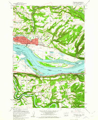
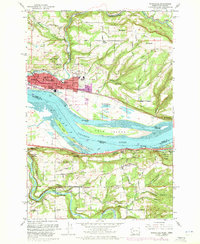
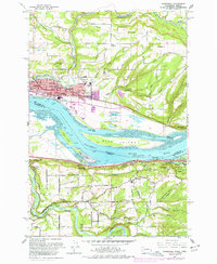
Editions of this 1961 Washougal Map
4 editions found
Other maps of this area

1911 · Boring
USGS Topo · 1:48,000

1914 · Boring
USGS Topo · 1:62,500

1916 · Estacada
USGS Topo · 1:125,000

1918 · Troutdale
USGS Topo · 1:62,500

1934 · Troutdale
USGS Topo · 1:48,000

1940 · Boring
USGS Topo · 1:62,500

1941 · Camas
USGS Topo · 1:62,500

1942 · Camas
USGS Topo · 1:62,500

1948 · Vancouver
USGS Topo · 1:250,000

1950 · Vancouver
USGS Topo · 1:250,000