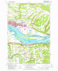
1961 Map of Washougal
USGS Topo · Published 1977About this map
The Columbia River and its Broughton Reach define this 1961 landscape, marking the interstate border where the Washougal River and Sandy River converge from opposite banks. On the Washington side, the industrial and residential core of Washougal and Camas sits above the riverfront, served by the Burlington Northern and S P & S RY railroads. The map documents the mid-century expansion of these towns, including local centers like the Washougal High School and Washougal Memorial Cemetery.
Find a feature on this map
75 named features on this map. Tap any name to fly to it.
Don’t see what you’re looking for? This feature index may not catch every label — zoom into the map to look around manually.
Map Details
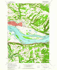
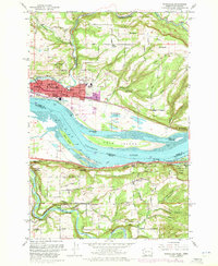
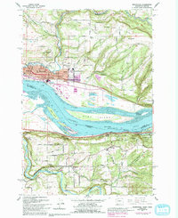
Editions of this 1961 Washougal Map
4 editions found
Other maps of this area

1911 · Boring
USGS Topo · 1:48,000

1914 · Boring
USGS Topo · 1:62,500

1916 · Estacada
USGS Topo · 1:125,000

1918 · Troutdale
USGS Topo · 1:62,500

1934 · Troutdale
USGS Topo · 1:48,000

1940 · Boring
USGS Topo · 1:62,500

1941 · Camas
USGS Topo · 1:62,500

1942 · Camas
USGS Topo · 1:62,500

1948 · Vancouver
USGS Topo · 1:250,000

1950 · Vancouver
USGS Topo · 1:250,000