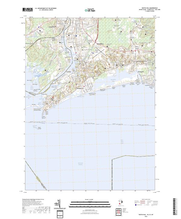
2024 Map of Watch Hill
USGS Topo · Published 2024About this map
The Pawcatuck and Westerly borderlands are defined by the winding course of the Pawcatuck River, where Rhode Island and Connecticut meet at the edge of the Atlantic Ocean. This coastal landscape is remarkably dense with family burial grounds, including the Governor Samuel Ward Lot Cem, Captain John Pendleton Ground Cem, and the Colonel Joseph Noyes Burial Ground, providing a detailed record of local lineage across generations. The maritime character of the area is evident in the transition from the river's Thompson Cove out toward the barrier beaches of Misquamicut and Weekapaug. Public and private shorelines like Ocean House Beach and Misquamicut State Beach flank the southern edge, while the Newport - Block Island Ferry route cuts through the Watch Hill Passage south of Watch Hill Point. Internal water bodies like Winnapaug Pond and Little Maschaug Pond underscore the complex hydrology of this Atlantic shoreline.
Find a feature on this map
202 named features on this map. Tap any name to fly to it.
Don’t see what you’re looking for? This feature index may not catch every label — zoom into the map to look around manually.
Map Details
Editions of this 2024 Watch Hill Map
This is the sole edition of this map. No revisions or reprints were ever made.
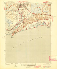
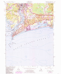
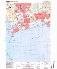
Historical Maps of Misquamicut Through Time
4 maps found