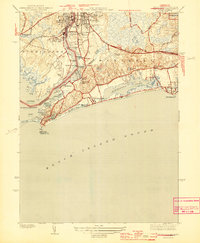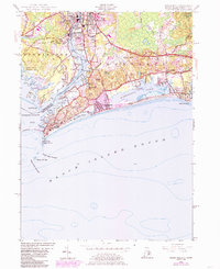
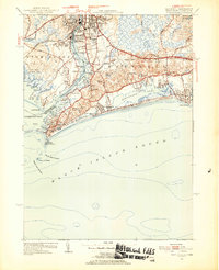
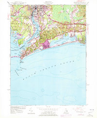
1953 Map of Watch Hill
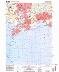
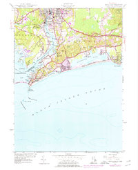
USGS Topo · Published 1985About this map
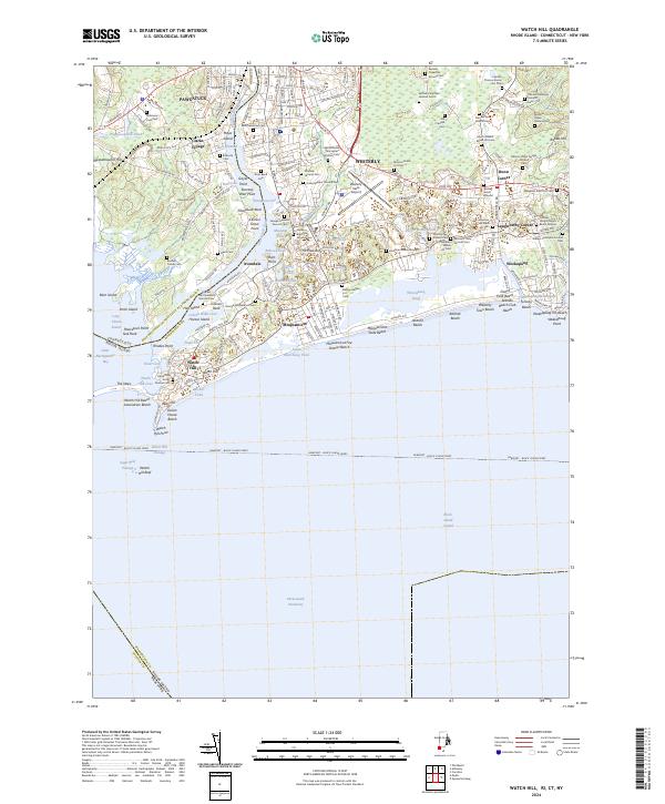
Pawcatuck River forms a sharp geographical boundary between Connecticut and Rhode Island, dividing the industrial and residential centers of Pawcatuck and Westerly. This coastal survey highlights the intricate shoreline of Little Narragansett Bay and Block Island Sound, where the prominent Watch Hill Lighthouse stands at Watch Hill Pt. The landscape is a mix of dense urban development, indicated by the purple-tinted expansion around Westerly, and significant conservation or recreation areas like the Barn Island Hunting Area and Misquamicut State Beach.
Find a feature on this map
69 named features on this map. Tap any name to fly to it.
Don’t see what you’re looking for? This feature index may not catch every label — zoom into the map to look around manually.
Map Details
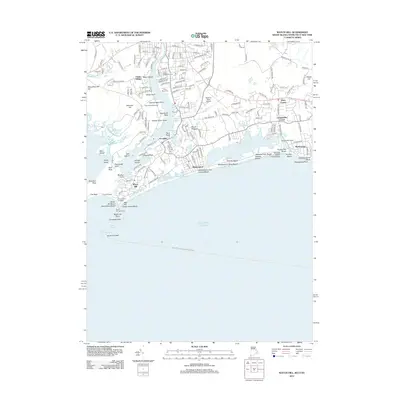
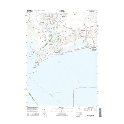
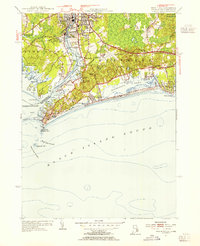
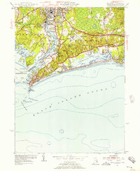
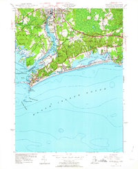
Editions of this 1953 Watch Hill Map
7 editions found
Historical Maps of Southold Through Time
8 maps found